| Mileage: | 9 activities, 180.8 km, 4.5 km↑ (DLOG) |
|---|---|
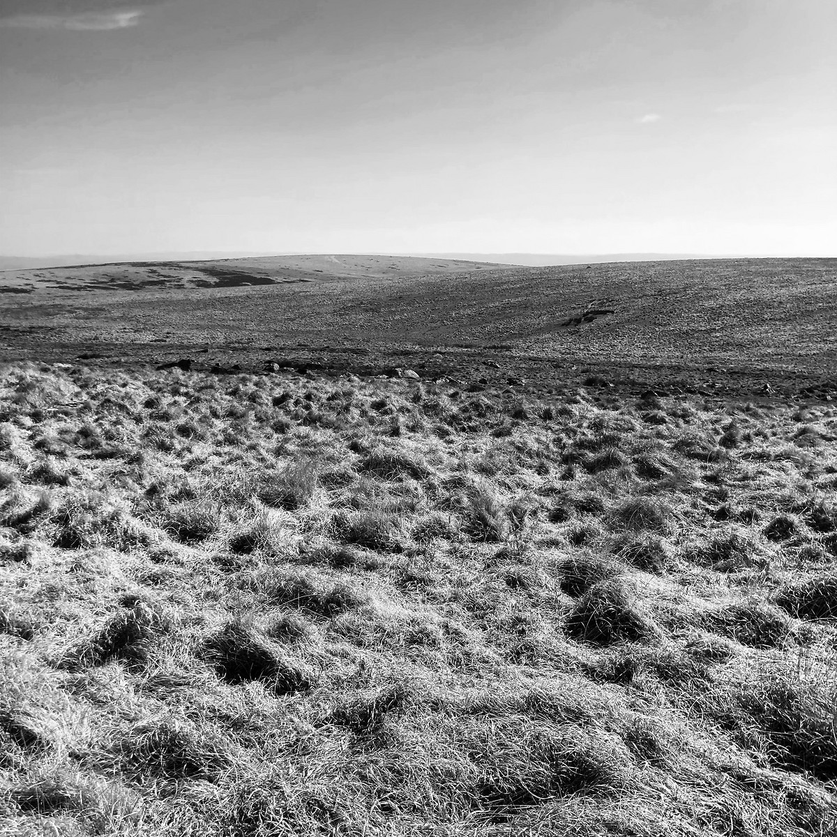
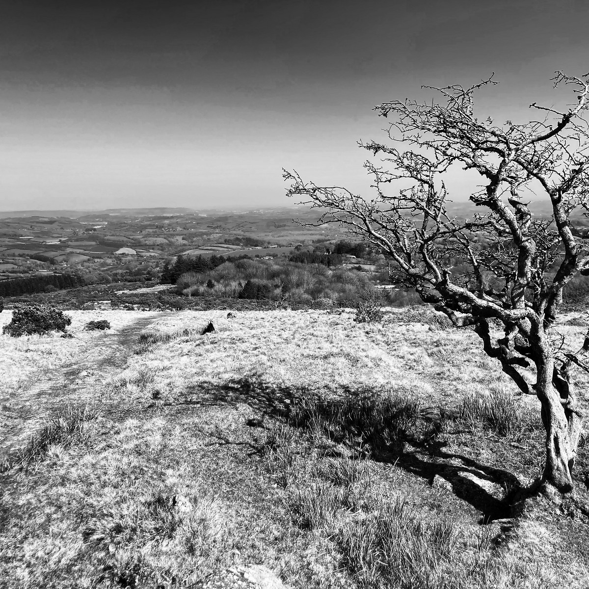
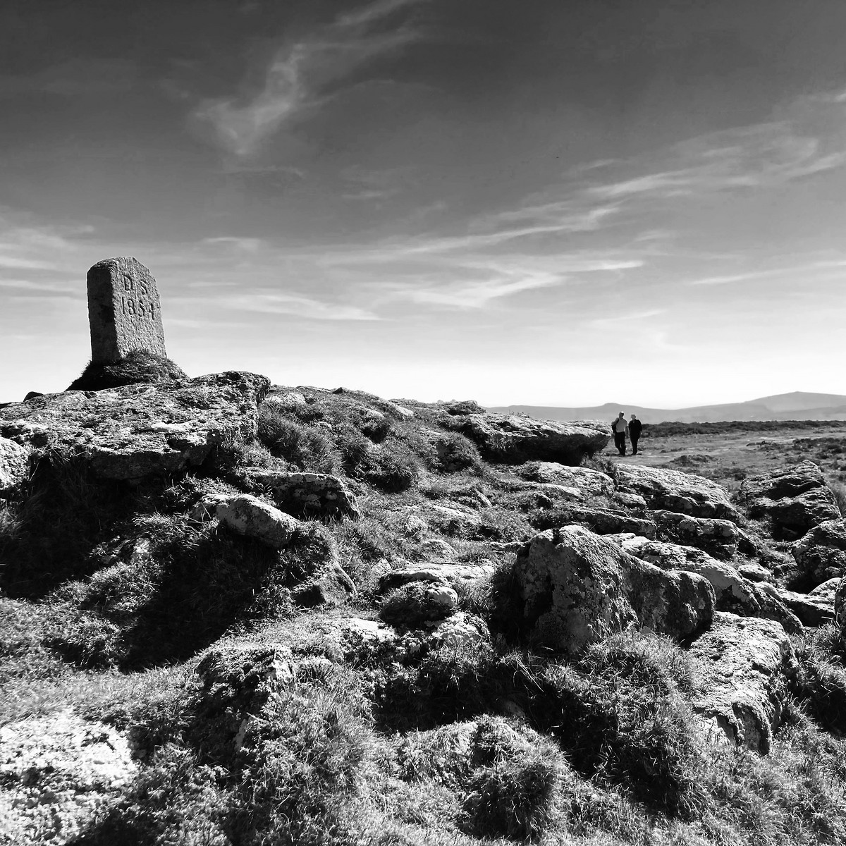
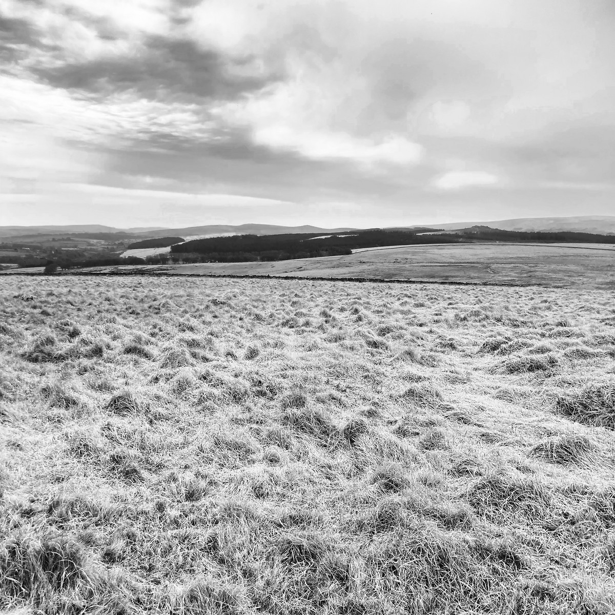
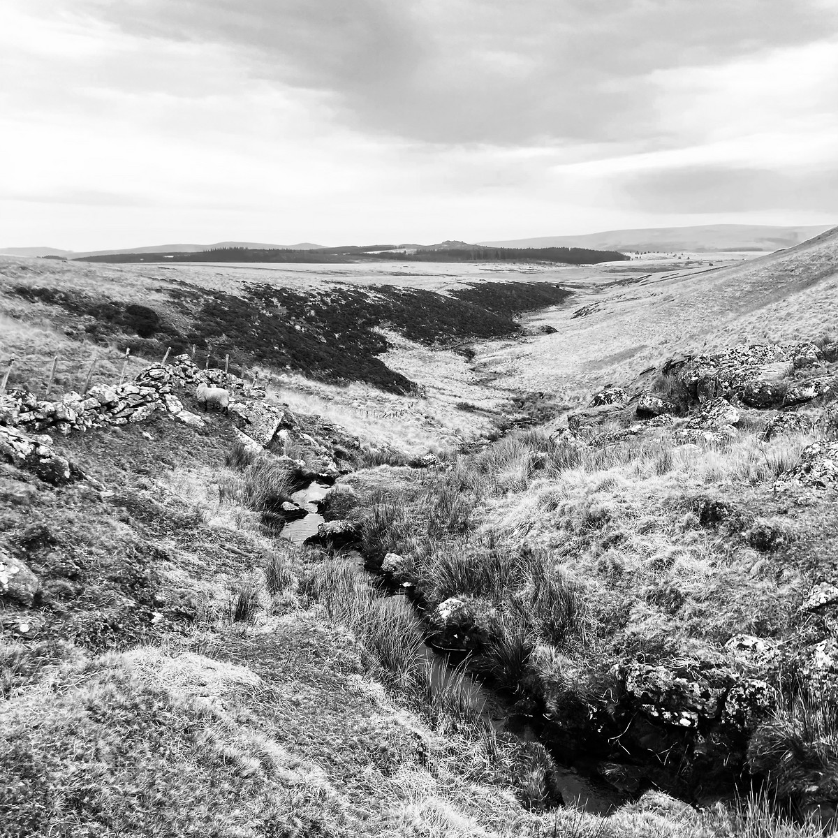
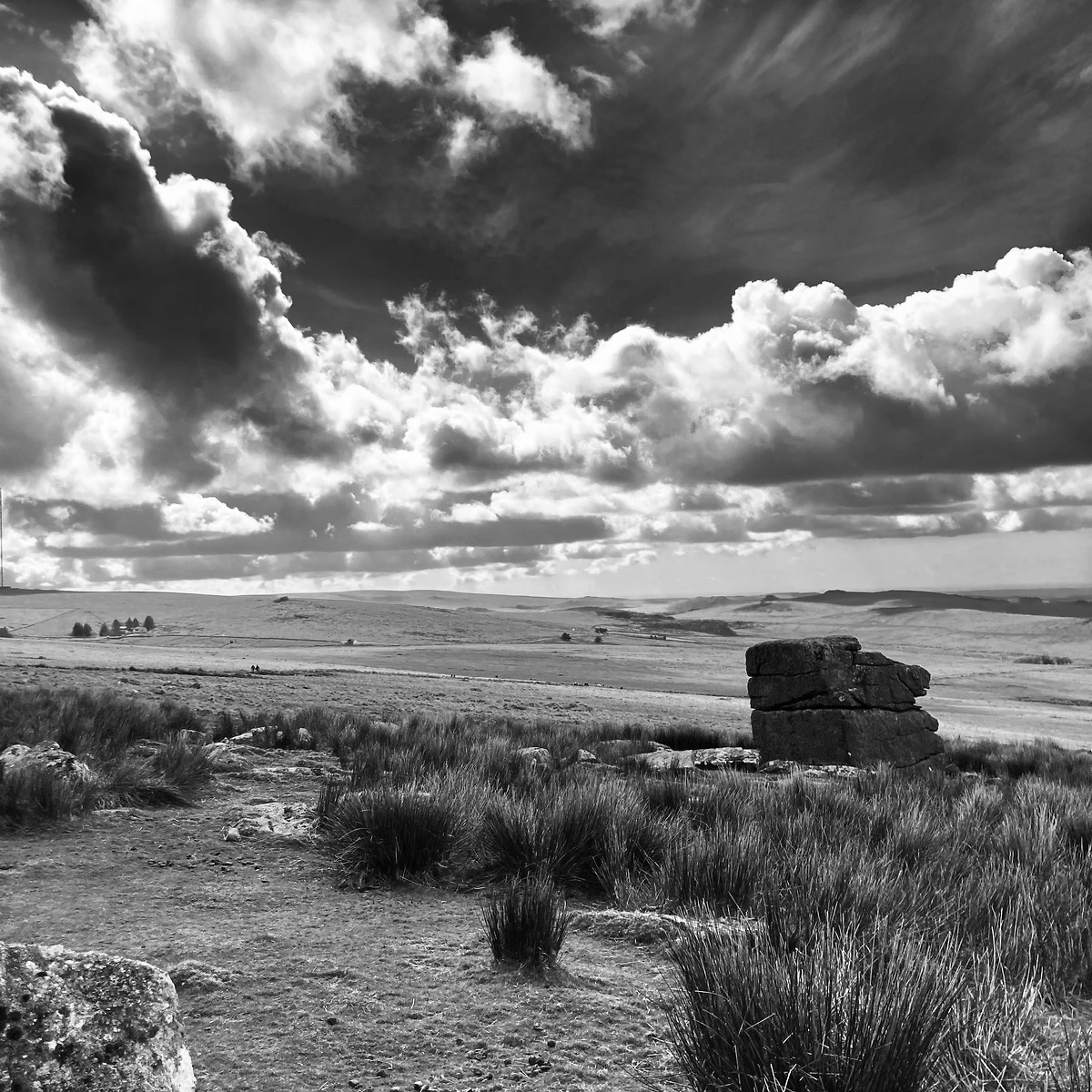
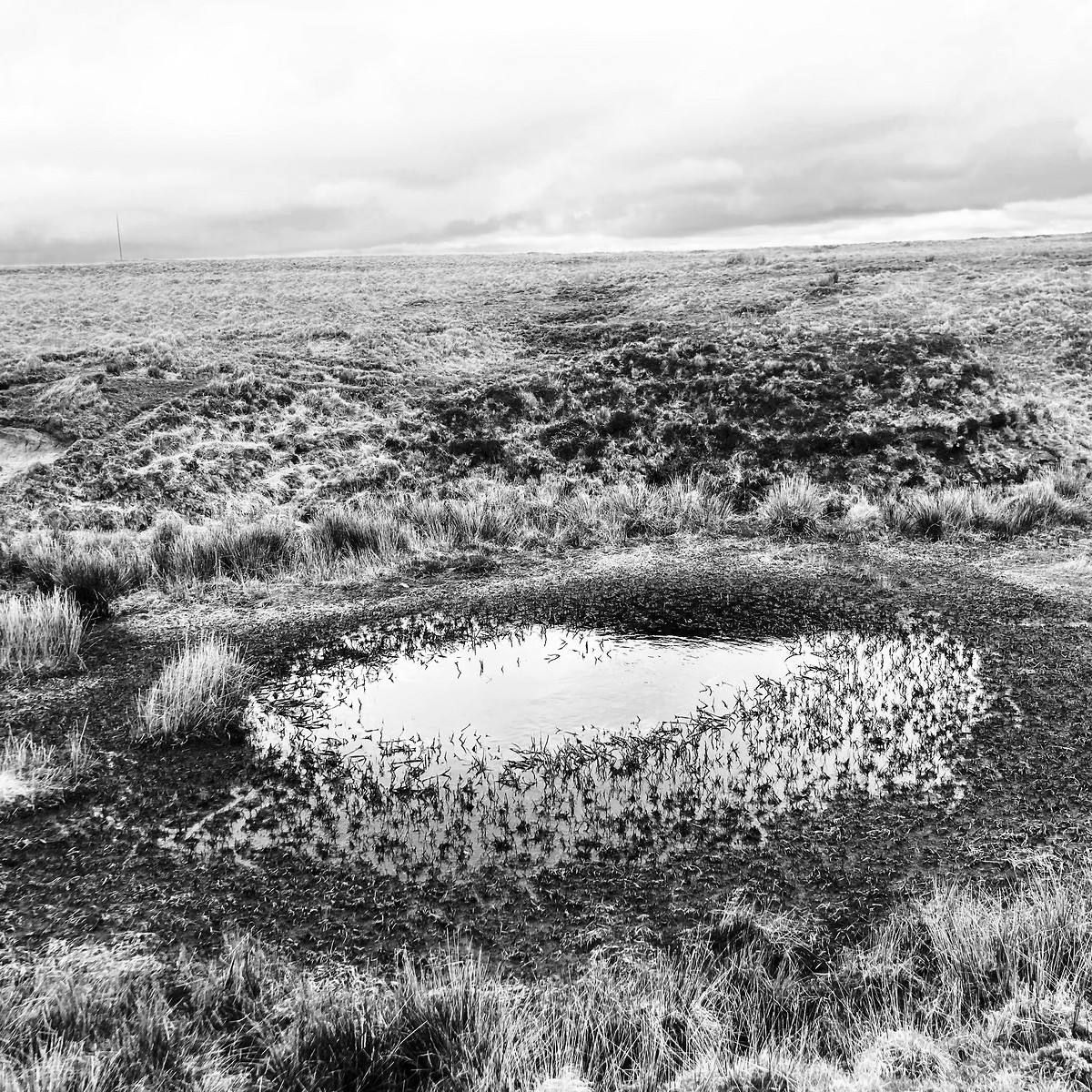
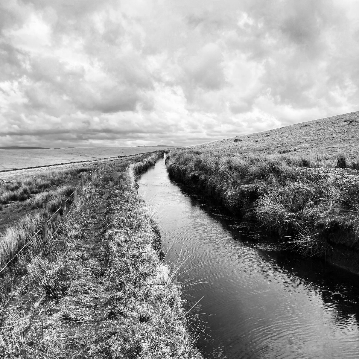
| Description: | I chose Dartmoor for my HML consolidation period, as the moorland was remote and featureless. This was perfect for fine-tuning my navigation skills. I had also wanted to walk on Dartmoor for a long time, but never found the time for it. |
2025-04-06 Ivybridge - South Brent
Hill
Walking, Solo, 5-8 hours
14.5 km, 430 m↑, 370 m↓
Clear - sunny - good visibility / Strong wind (DLOG)
| Location and role: | England, Dartmoor. HML consolidation period, roughly on the “Dartmoor Way” long-distance trail. Solo walker. |
|---|---|
| Activity and conditions: | Used public paths for access, then explored open moorland. Fine weather, but strong and chilly wind. |
| Decisions and experience: | First time walking on Dartmoor. Located to simpler features on the map, mostly using timing and pacing. Some of those features were hard to identify on the ground. |
2025-04-07 South Brent - Buckfastleigh
Hill
Walking, Solo, 5-8 hours
20.8 km, 530 m↑, 600 m↓
Clear - sunny - good visibility / Strong wind (DLOG)
| Location and role: | England, Dartmoor. Training for HML assessment, roughly on the “Dartmoor Way” long-distance trail. Solo walker. |
|---|---|
| Activity and conditions: | Used public paths for access, then explored open moorland. Fine weather, but strong and chilly wind. |
| Decisions and experience: | Located to simpler features on the map, mostly using timing and pacing. Walked longer stretches on a bearing than on the day before. |


2025-04-09 Buckfastleigh - Scorriton
Hill
Flagged
Walking, Solo, 5-8 hours
19.7 km, 600 m↑, 490 m↓
Clear - sunny - good visibility / Moderate wind (DLOG)
| Location and role: | England, Dartmoor. Training for HML assessment, roughly on the “Dartmoor Way” long-distance trail. Solo walker. |
|---|---|
| Activity and conditions: | Used public paths for access, then explored open moorland. Fine weather, but quite windy. |
| Decisions and experience: | Located to contour lines and more complex features on the map. Studied accuracy of timing vs pacing. |


2025-04-10 Widecombe - Postbridge
Hill
Flagged
Walking, Solo, 5-8 hours
22.8 km, 660 m↑, 540 m↓
Clear - sunny - good visibility / Moderate wind (DLOG)
| Location and role: | England, Dartmoor. Training for HML assessment, roughly on the “Dartmoor Way” long-distance trail. Solo walker. |
|---|---|
| Activity and conditions: | Used public paths for access, then explored open moorland. Fine weather, but quite windy. |
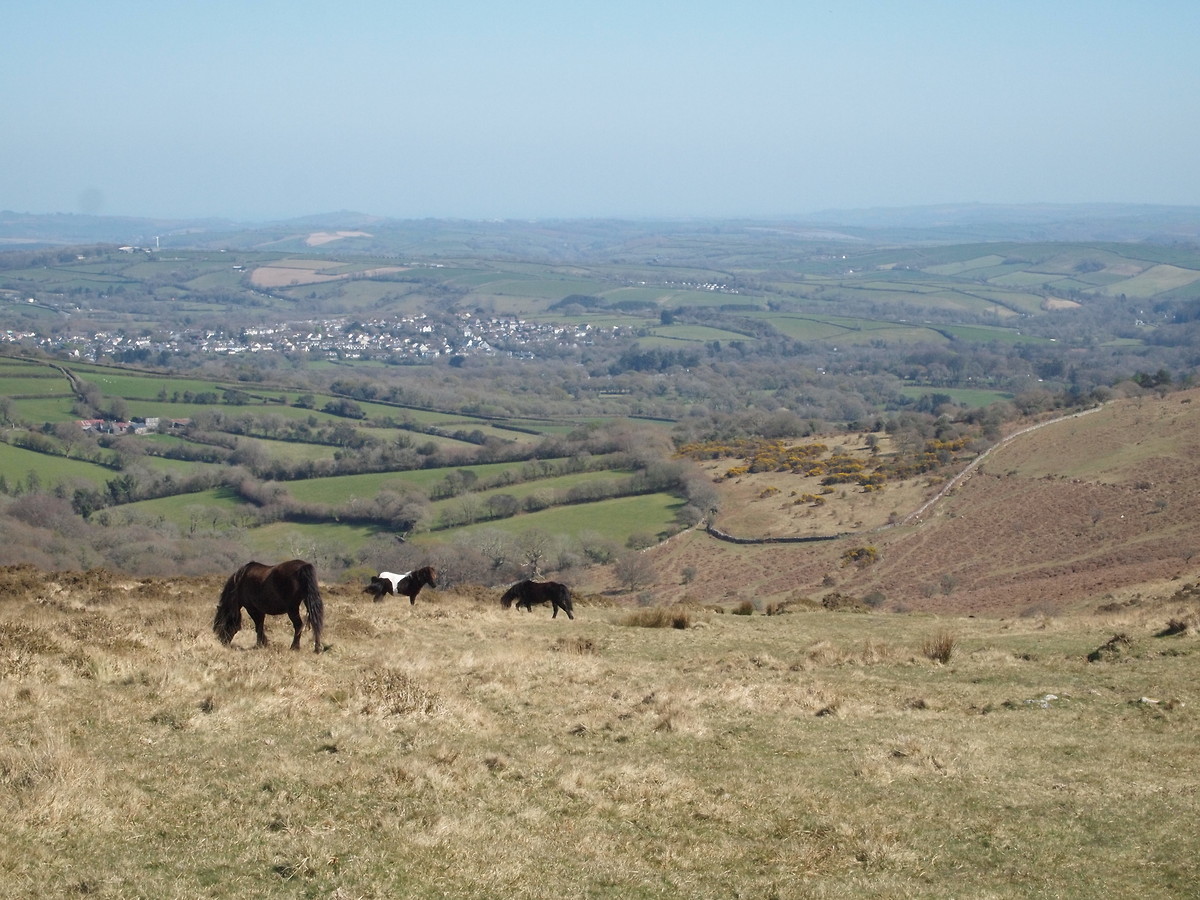
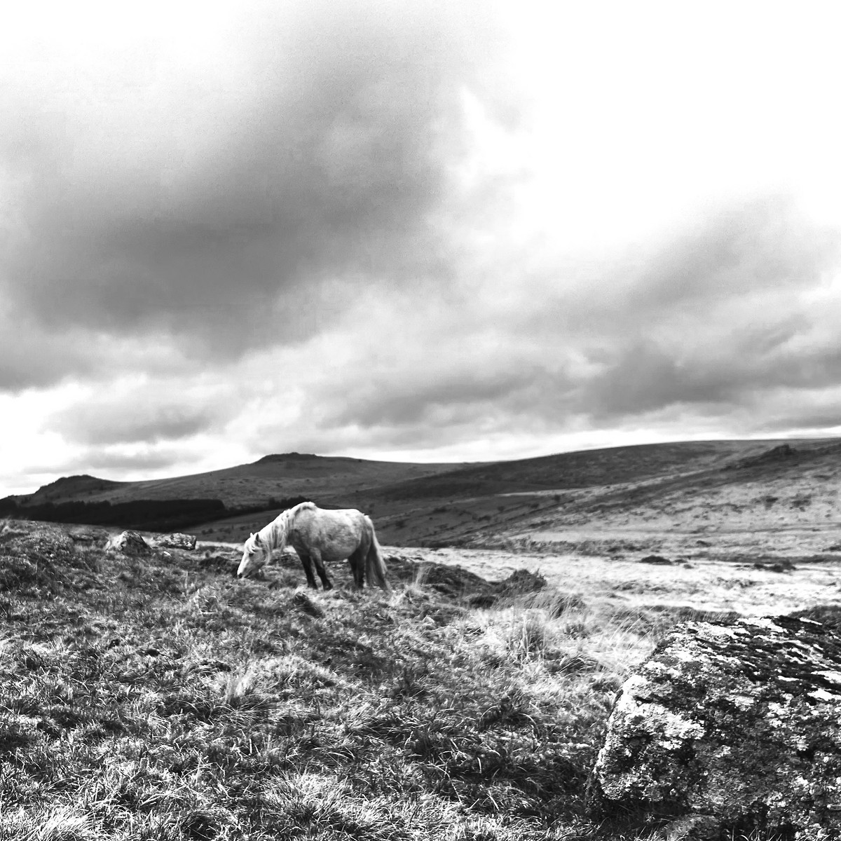
| Decisions and experience: | Located to more complex features on the map, including a small re-entrant. Used boxing (with pacing) to move around herd of wild ponies. |

2025-04-11 Postbridge - Grey Wethers
Hill
Walking, Solo, 5-8 hours
16.8 km, 360 m↑, 340 m↓
Clear - sunny - good visibility / Gentle breeze (DLOG)
| Location and role: | England, Dartmoor. Training for HML assessment, roughly on the “Dartmoor Way” long-distance trail. Solo walker. |
|---|---|
| Activity and conditions: | Used public paths for access, then explored open moorland. Fine weather. |
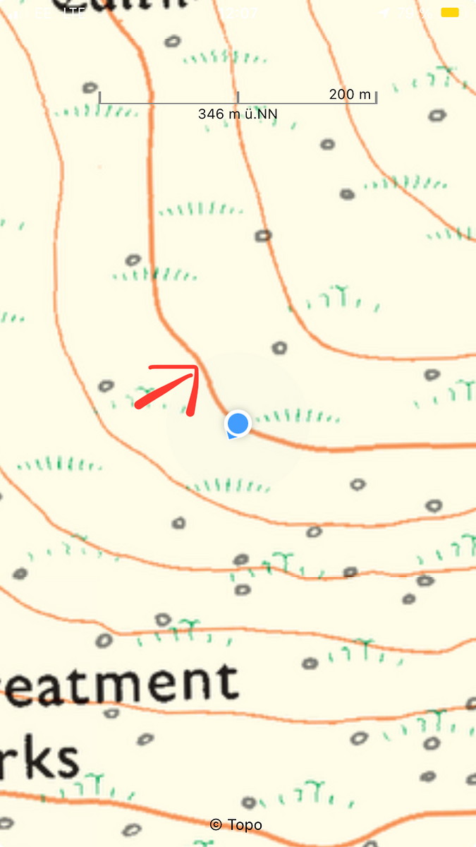
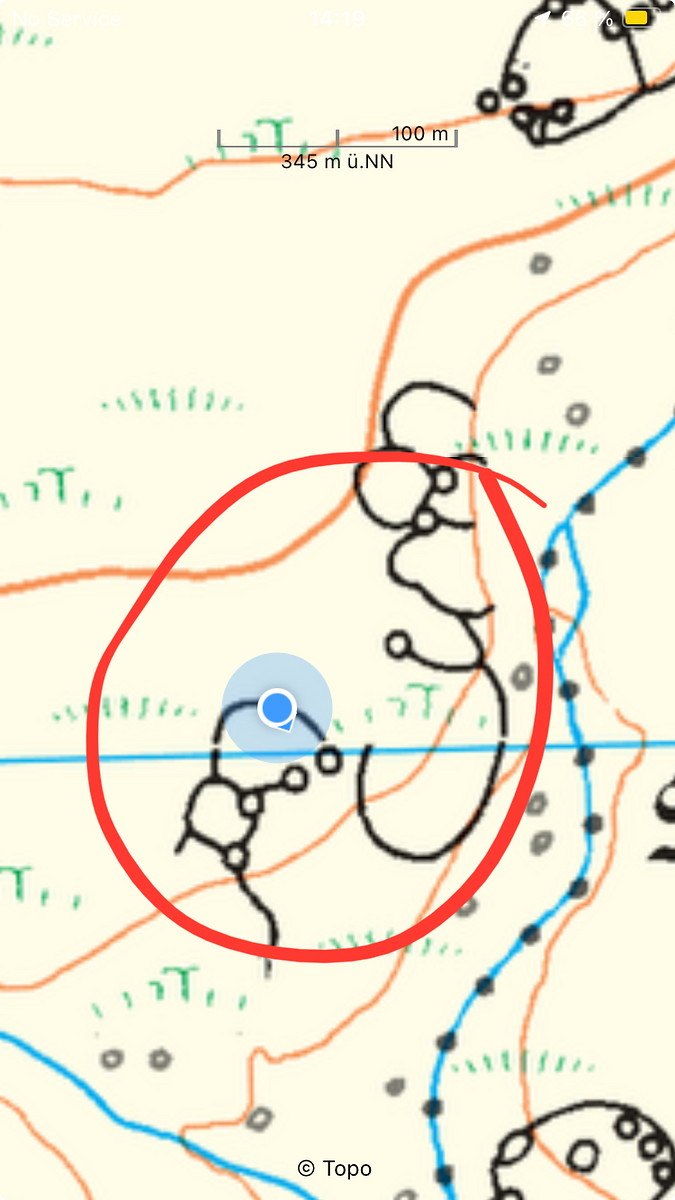
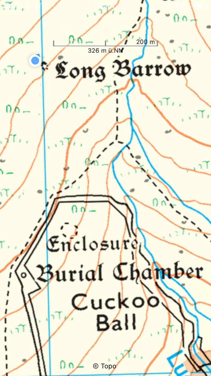
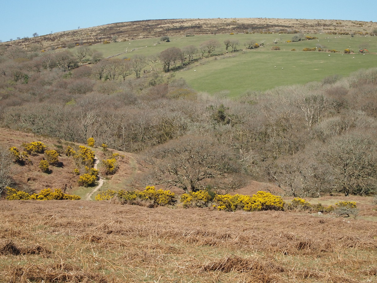
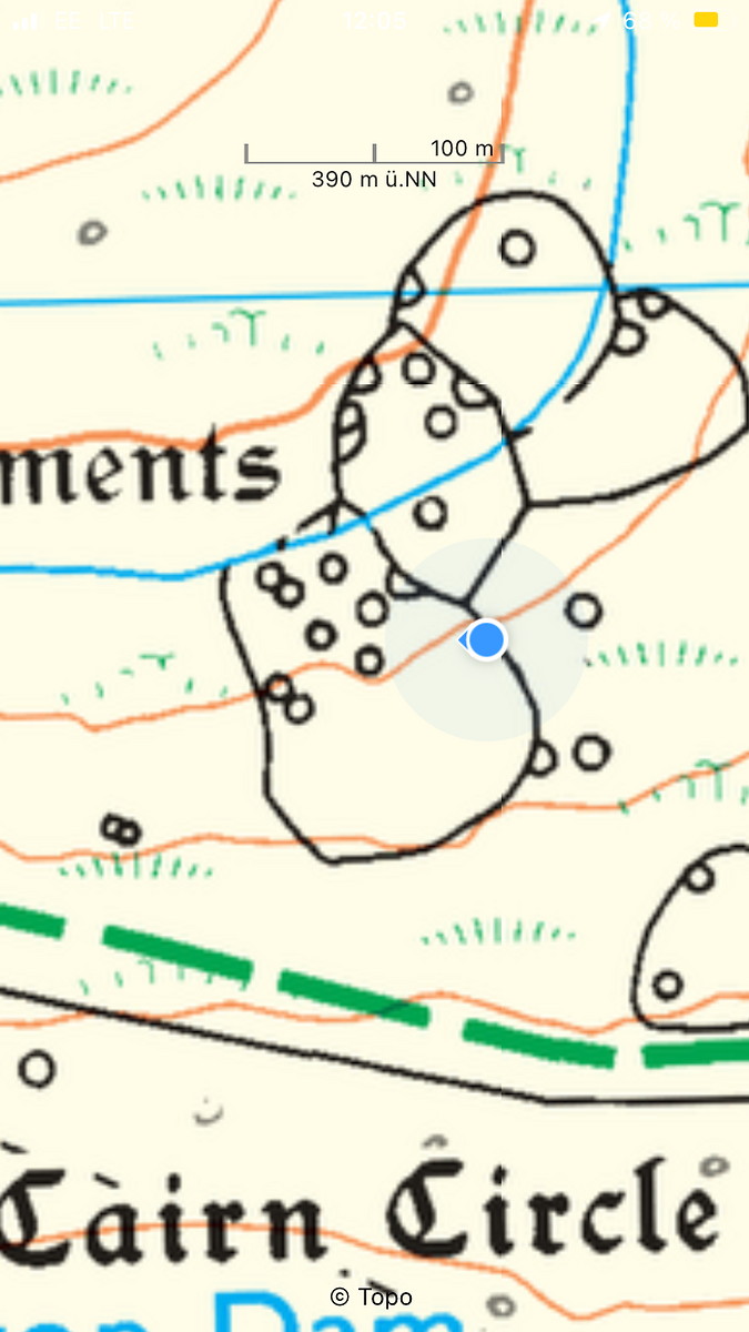
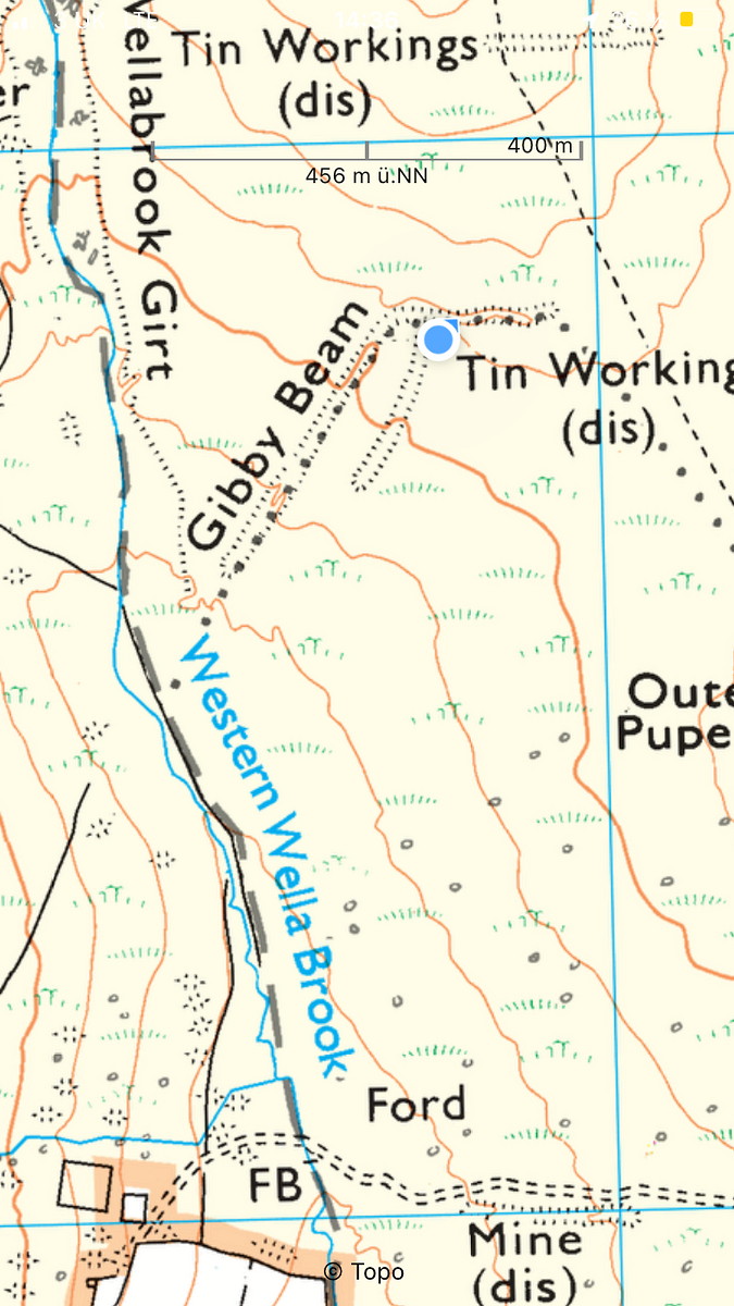
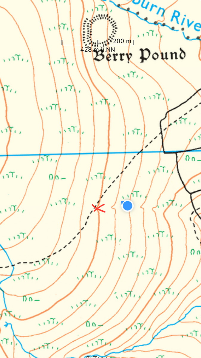
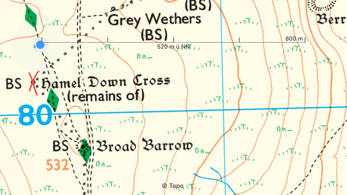
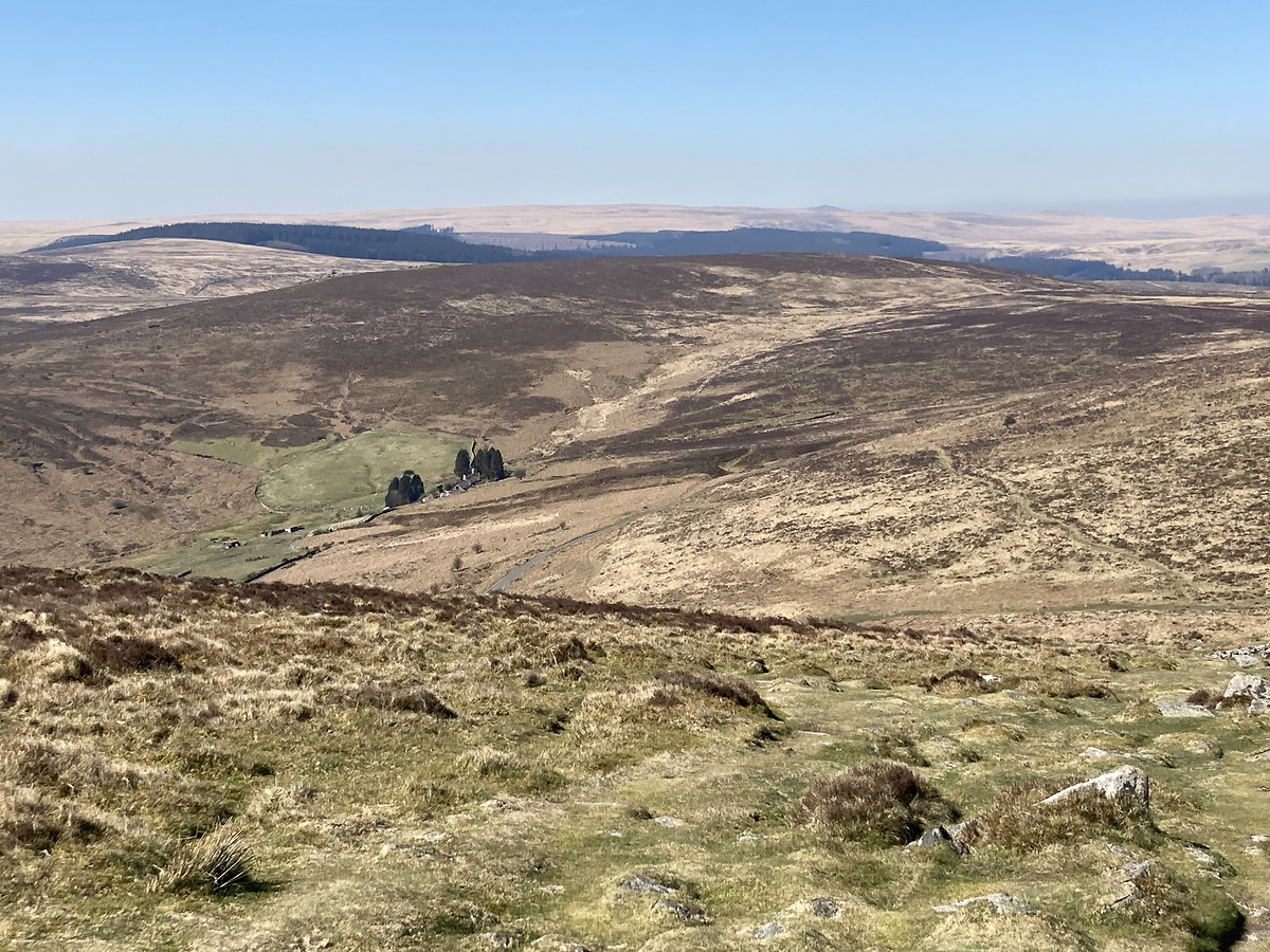
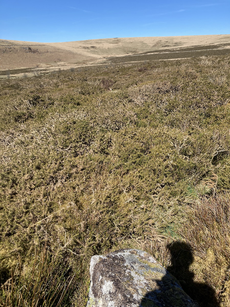
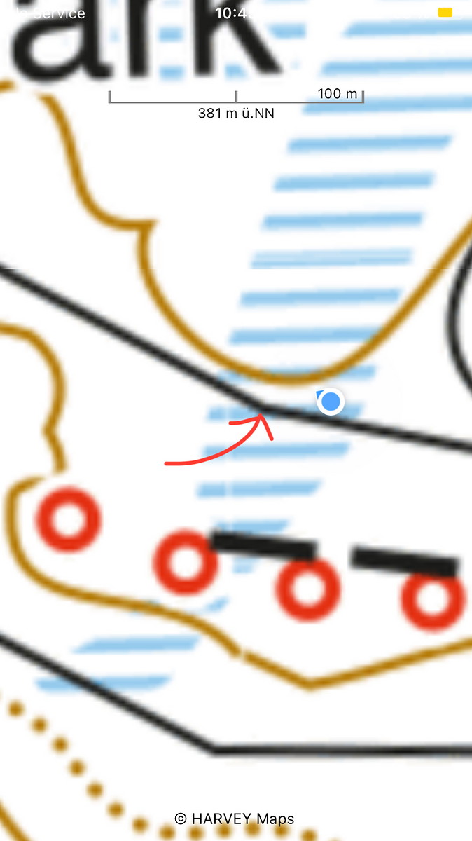
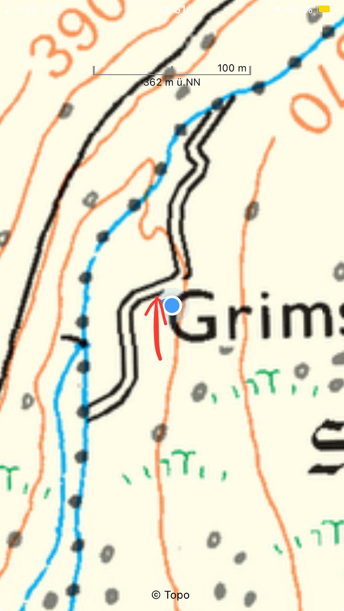
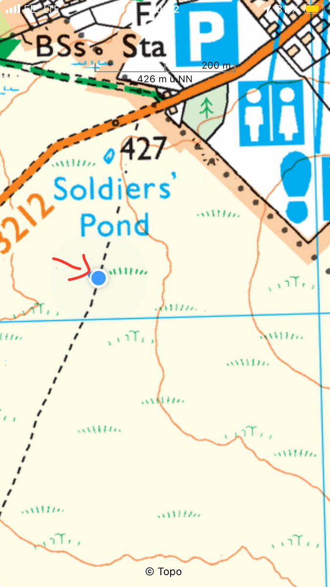
| Decisions and experience: | Located to more complex features on the map. Fought through dense gorse, looking for a wall. Walking in straight lines for more than a few meters was impossible. Overran target by approx. 100 m, and found a very overgrown decayed wall! Noticed that I had gone too far, but checked GPS to see whether this wall appeared on the map (it did not). Then navigated back and found the original wall, overgrown with grass, but thankfully out in the open. |


2025-04-12 Postbridge - Princetown
Hill
Flagged
Walking, Solo, 5-8 hours
21.4 km, 430 m↑, 310 m↓
Overcast / Moderate wind (DLOG)
| Location and role: | England, Dartmoor. Training for HML assessment, roughly on the “Dartmoor Way” long-distance trail. Solo walker. |
|---|---|
| Activity and conditions: | Used public paths for access, then explored open moorland. Overcast - best weather for walking. |
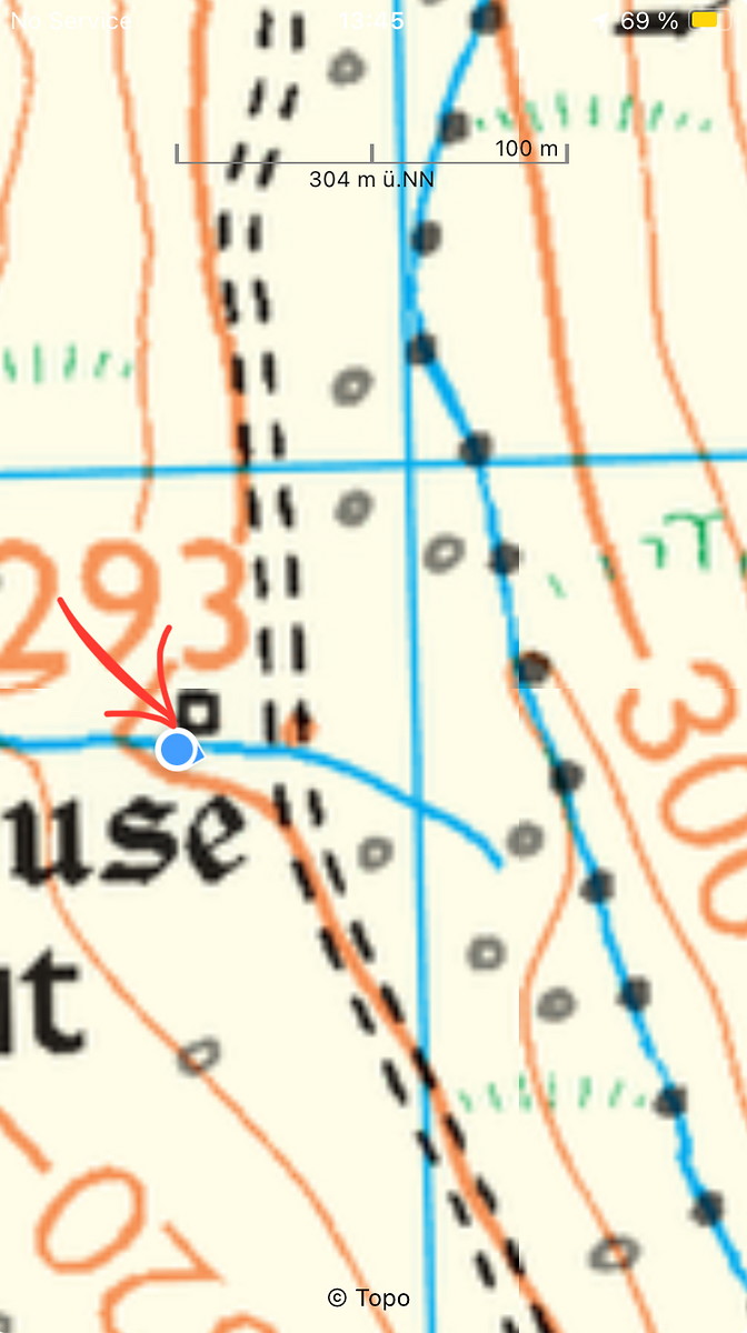
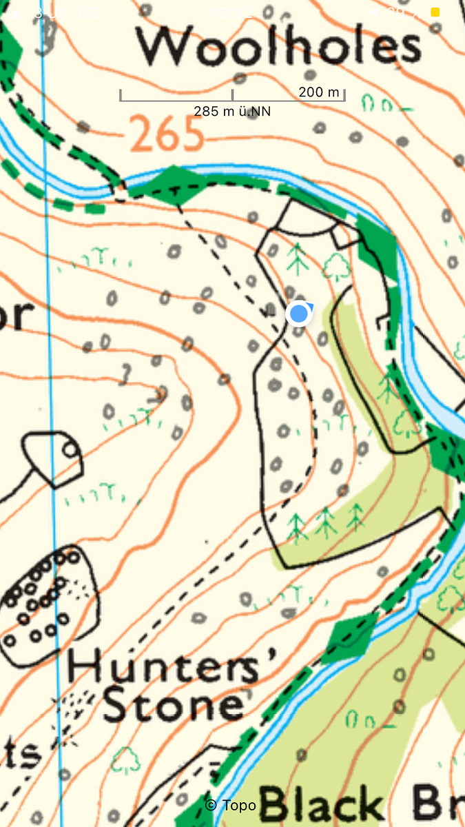
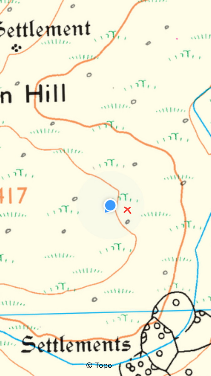
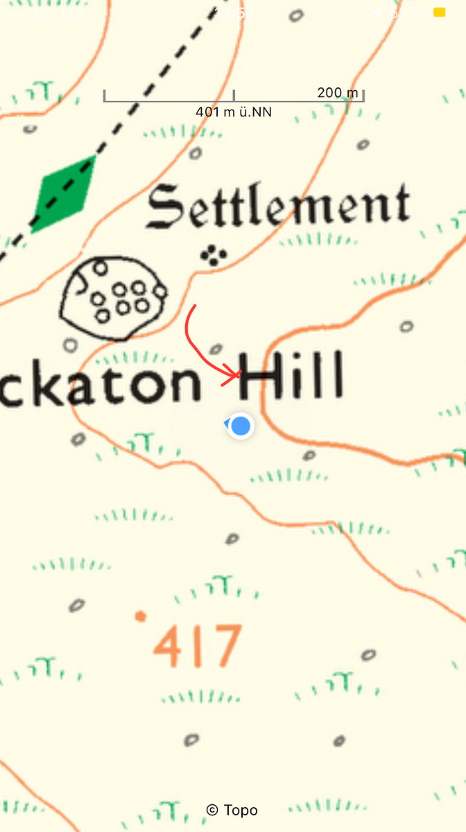
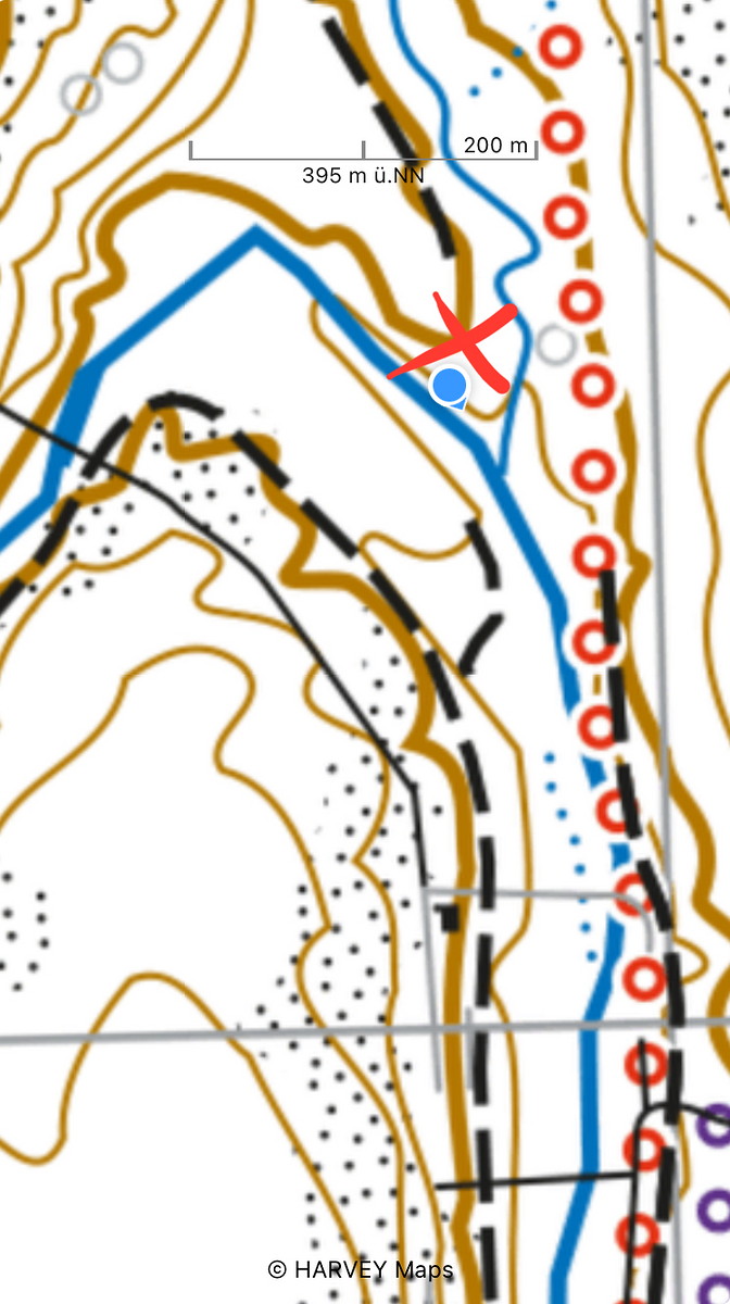
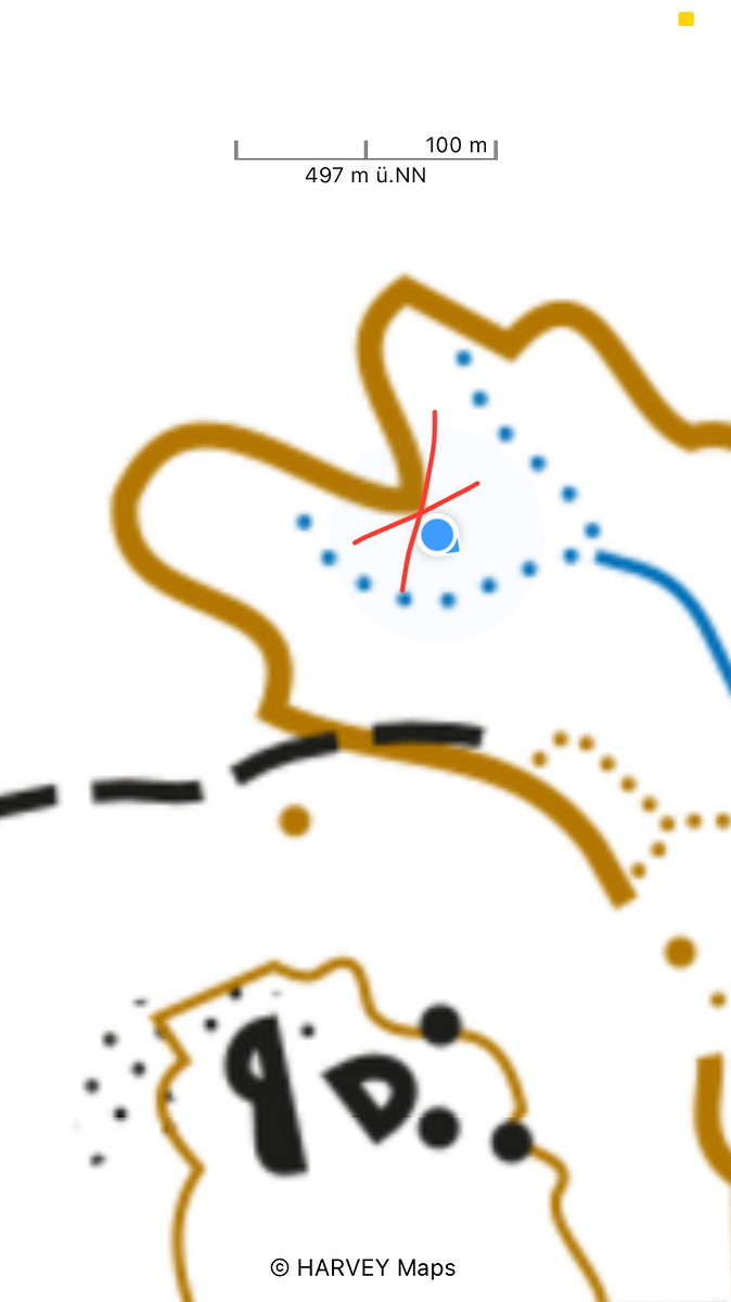
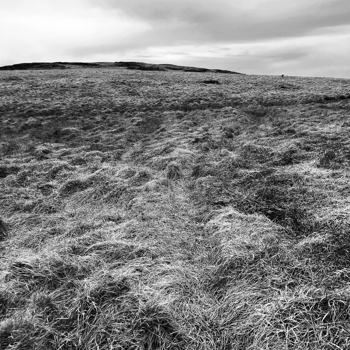
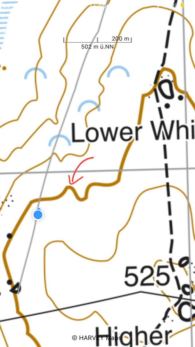
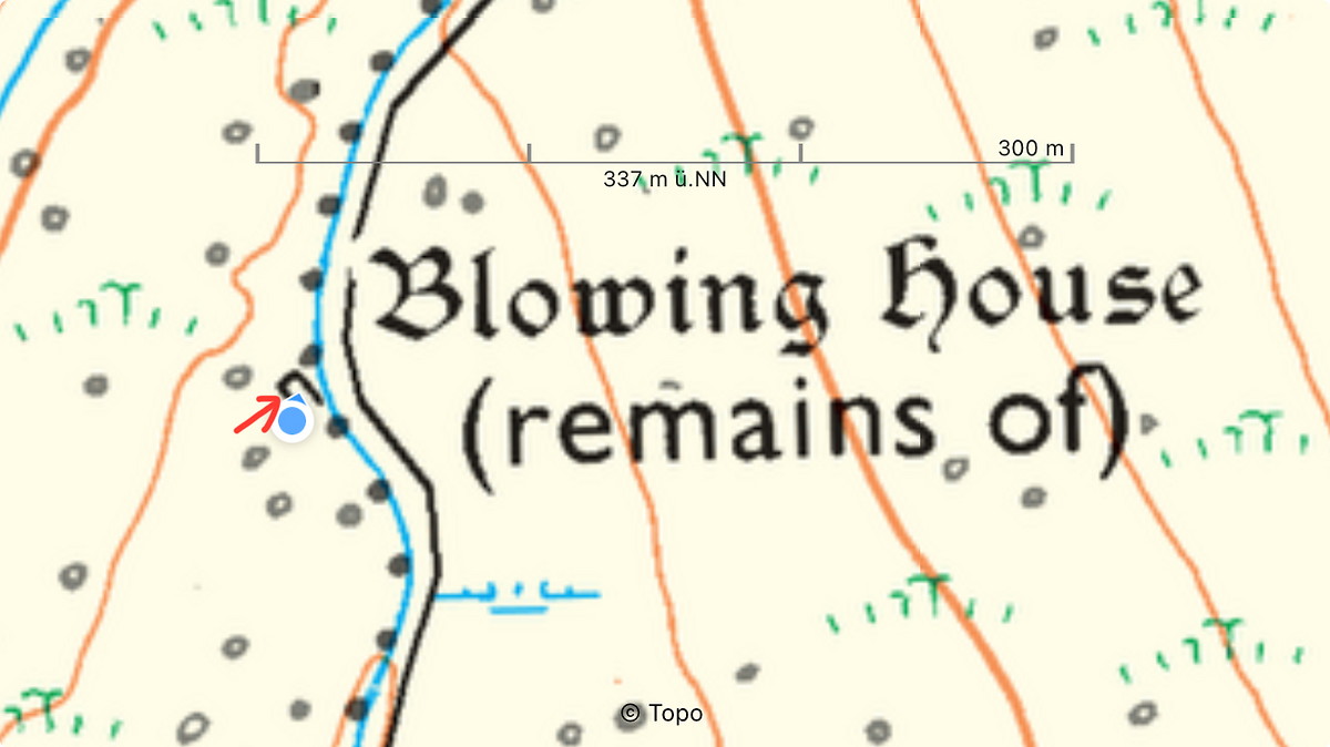
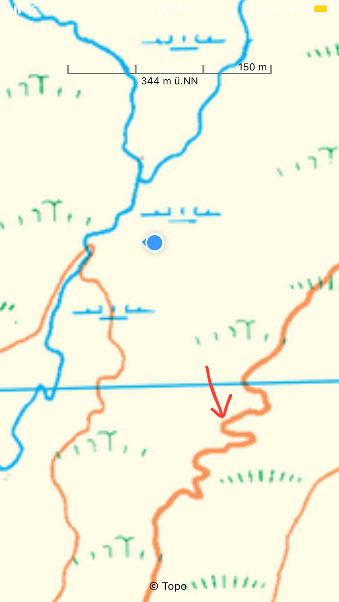
| Decisions and experience: | Exclusively used Harvey BMC map (a first). Trained relocation, and also located to contour lines. Walked on wet ground which I deemed to be dangerous, so I carefully stayed on small animal trails. One feature which looked like a re-entrant did not exist on the ground. Checked on OS Explorer map, which showed no re-entrant. Denser contour lines are definitely helpful. |

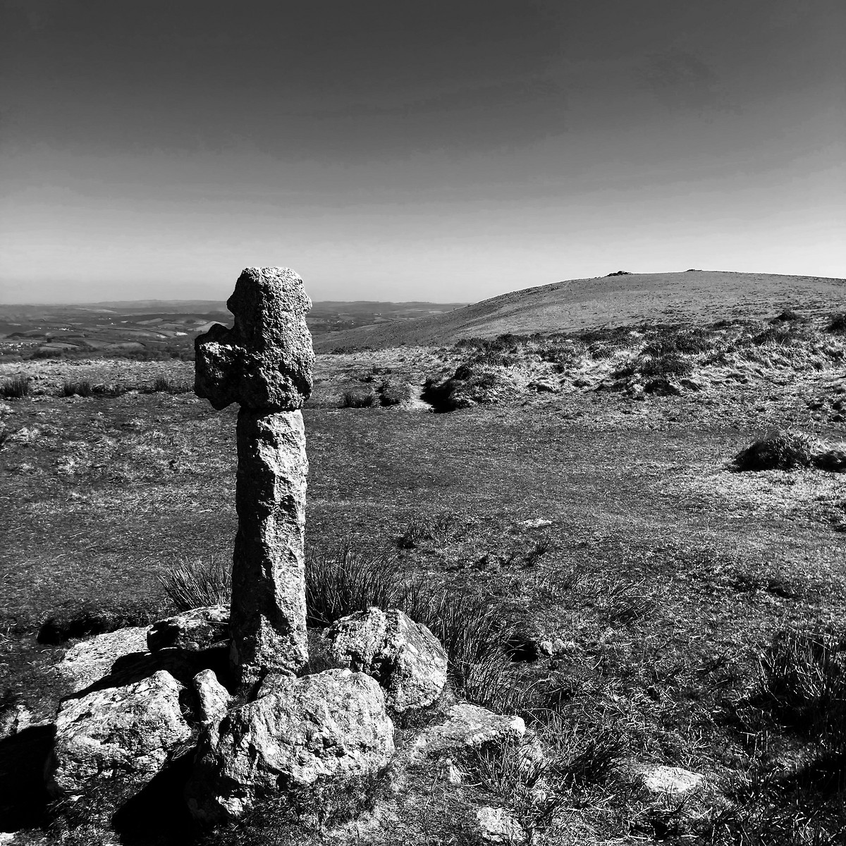
2025-04-13 Princetown - Great Staple Tor
Hill
Walking, Solo, 5-8 hours
21.6 km, 570 m↑, 580 m↓
Light rain - good visibility / Moderate wind (DLOG)
| Location and role: | England, Dartmoor. Training for HML assessment, roughly on the “Dartmoor Way” long-distance trail. Solo walker. |
|---|---|
| Activity and conditions: | Used public paths for access, then explored open moorland. Mixed weather, but not too bad. |
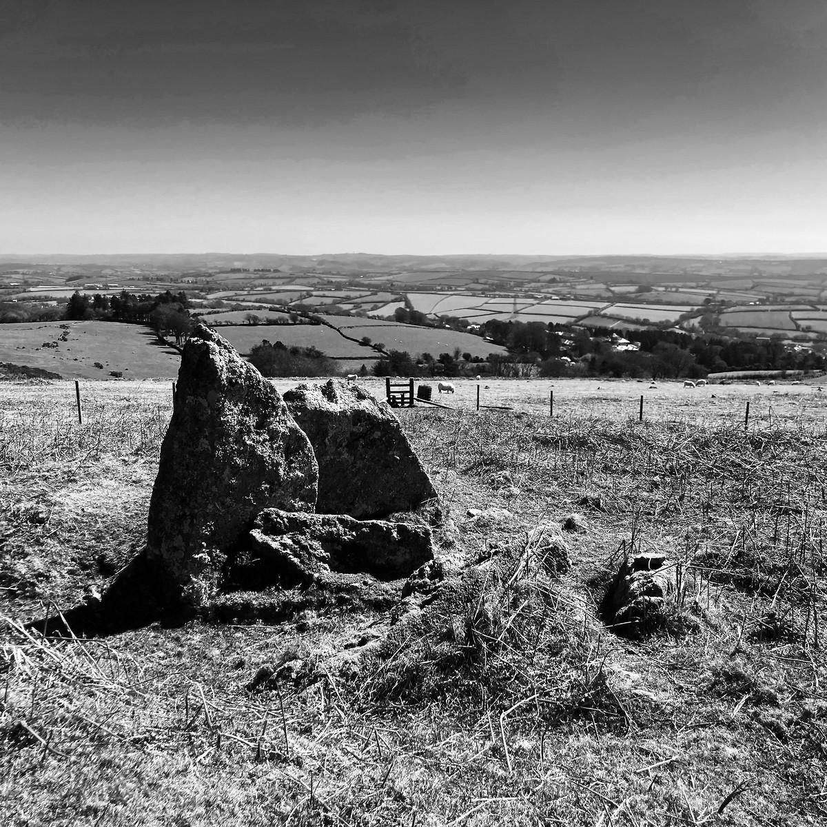
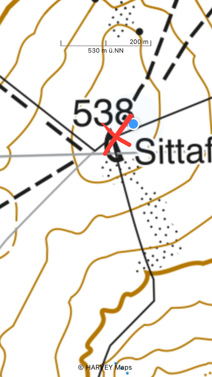
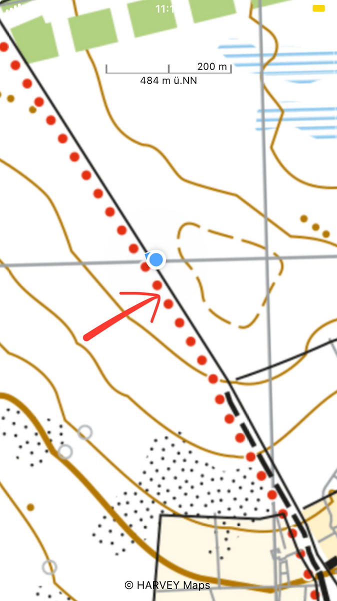
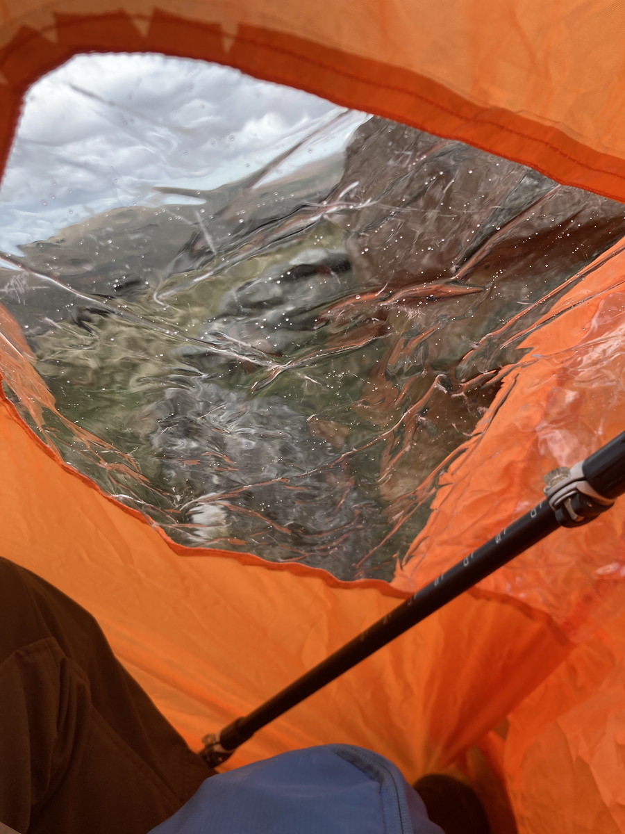
| Decisions and experience: | Researched access to firing ranges. Trained relocation. Navigated through large boulder fields and around sheep - and still arrived on correct spot after distance of 900 m. Tried out two-person group shelter at Great Staple Tor, on an exposed top and in a more sheltered position. Also tried out different clothing from what I normally use. Thought about the kind of tours I want to lead in future. Logged the 40th quality day on DLOG! |

2025-04-14 Princetown - Cramber Tor
Hill
Walking, Solo, 5-8 hours
15.6 km, 300 m↑, 280 m↓
Light rain - good visibility / Moderate wind (DLOG)
| Location and role: | England, Dartmoor. Training for HML assessment, roughly on the “Dartmoor Way” long-distance trail. Solo walker. |
|---|---|
| Activity and conditions: | Used public paths for access, then explored open moorland. Mixed weather, but not too bad. |
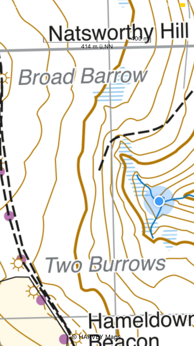
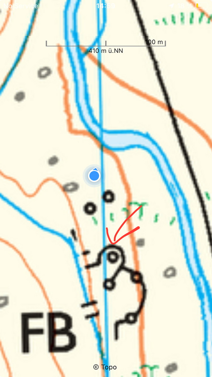
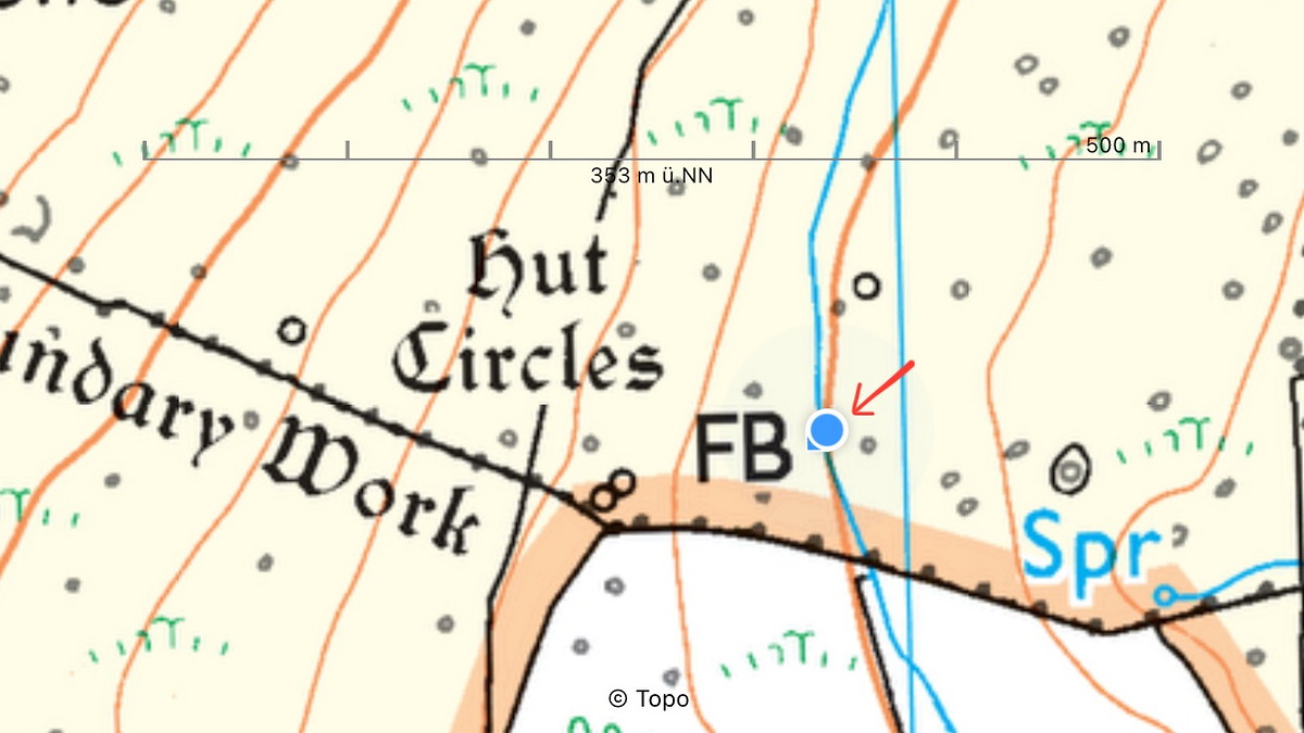
| Decisions and experience: | Used catching features. Learned about scale: found the contour I was looking for, only it was too small by a factor of 3 and too close to a stream - everything else matched! Trained relocation: multiple legs over the moor without checking. Tried out group shelter in a hollow (I am aware of the potential hazard of flooding). |


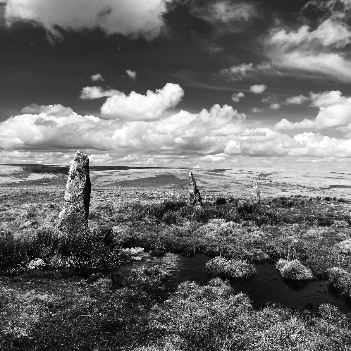
2025-04-16 Cornwood - The Dancers - Ugborough
Hill
Flagged
Walking, Solo, 8+ hours
27.6 km, 670 m↑, 720 m↓
Partially cloudy / Moderate wind (DLOG)
| Location and role: | England, Dartmoor. Training for HML assessment, roughly on the “Dartmoor Way” long-distance trail. Solo walker. |
|---|---|
| Activity and conditions: | Used public paths for access, then explored open moorland. Fine weather, but quite windy. |
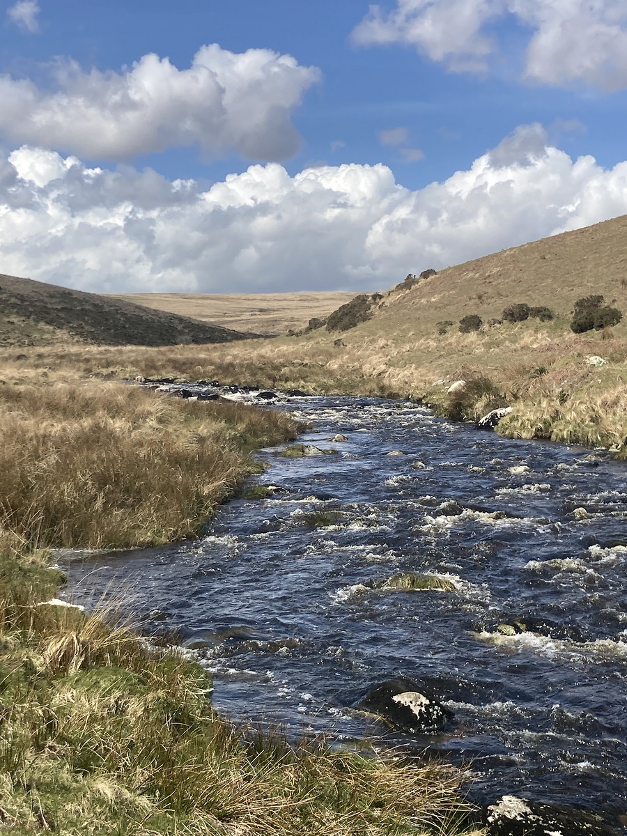
| Decisions and experience: | Decided not to walk on day before: yellow rain warning, weather predictions seemed unstable (good decision, 7 mm rain per hour is a lot). Located to contours, but abandoned last target as ground became too dangerous. Tried “rough” navigation (just as much as needed) in combination with multiple unchecked legs. Tried walking around swollen Erne river, but decided to return after some kilometres instead of pushing on towards uncertain ford. Used mixture of OS and BMC maps on return to ease strain by walking on as many paths as possible. |