Selected activities: 10
Last update: 2026-05-21
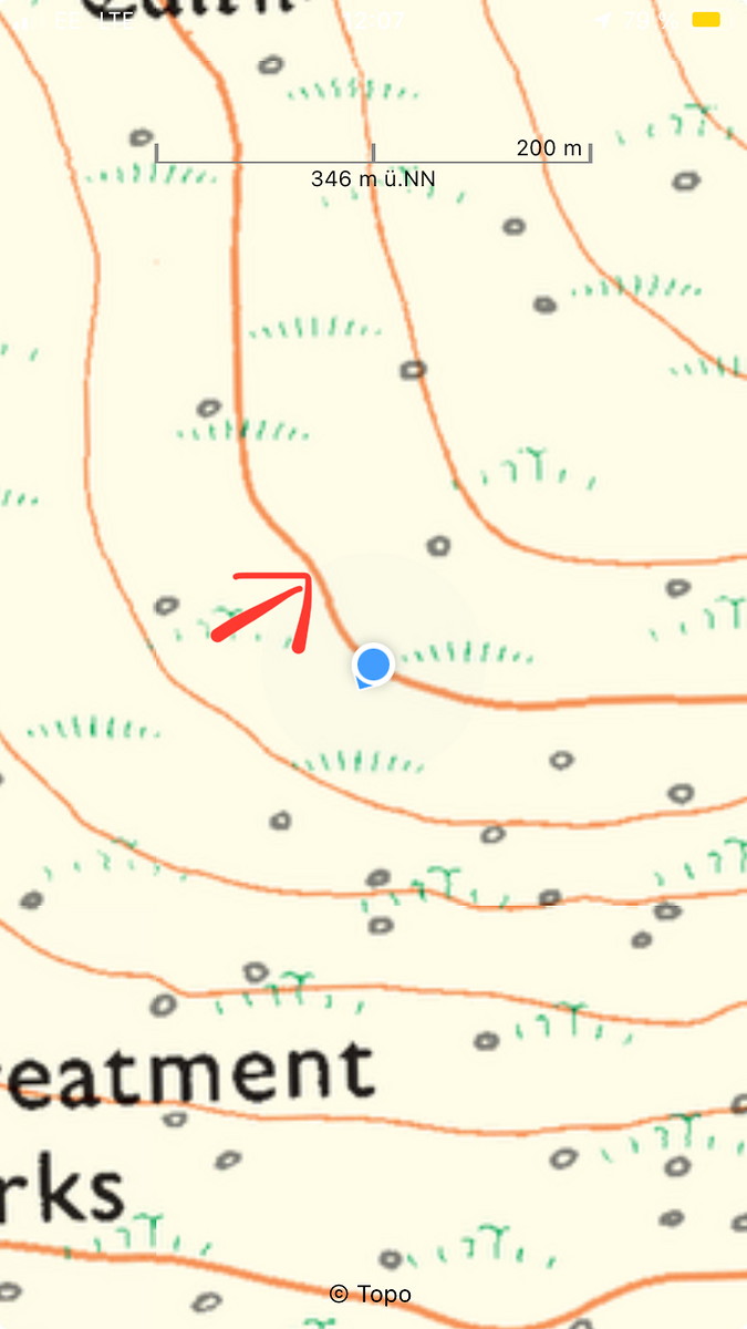
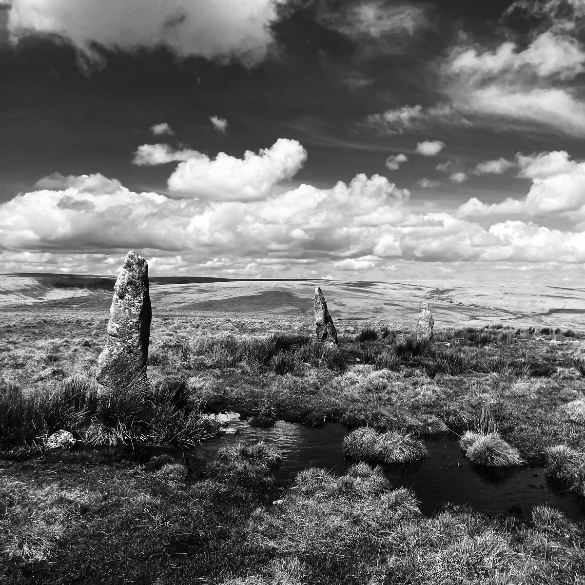
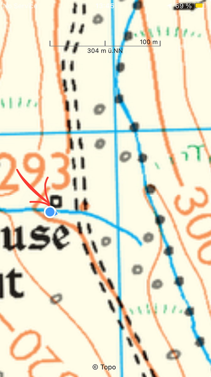
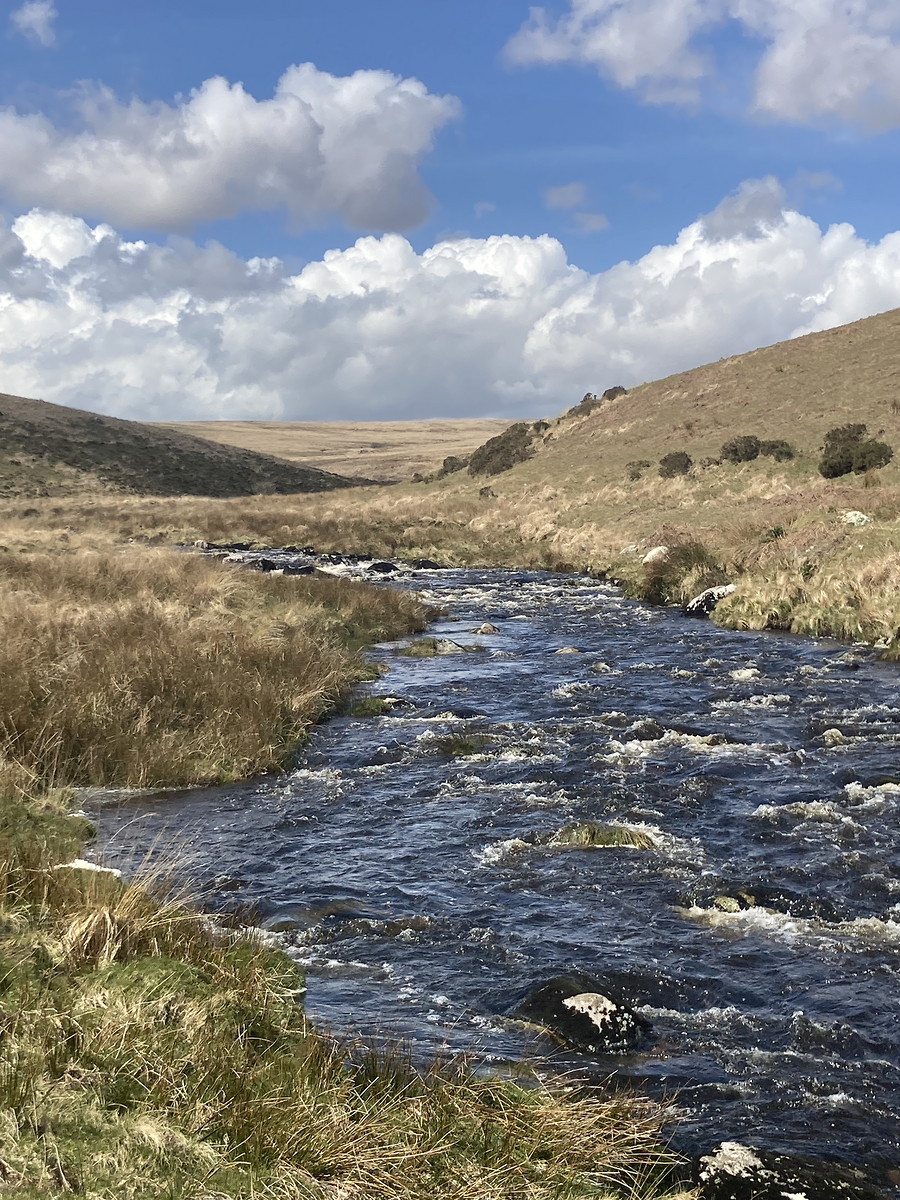
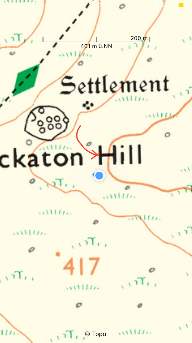
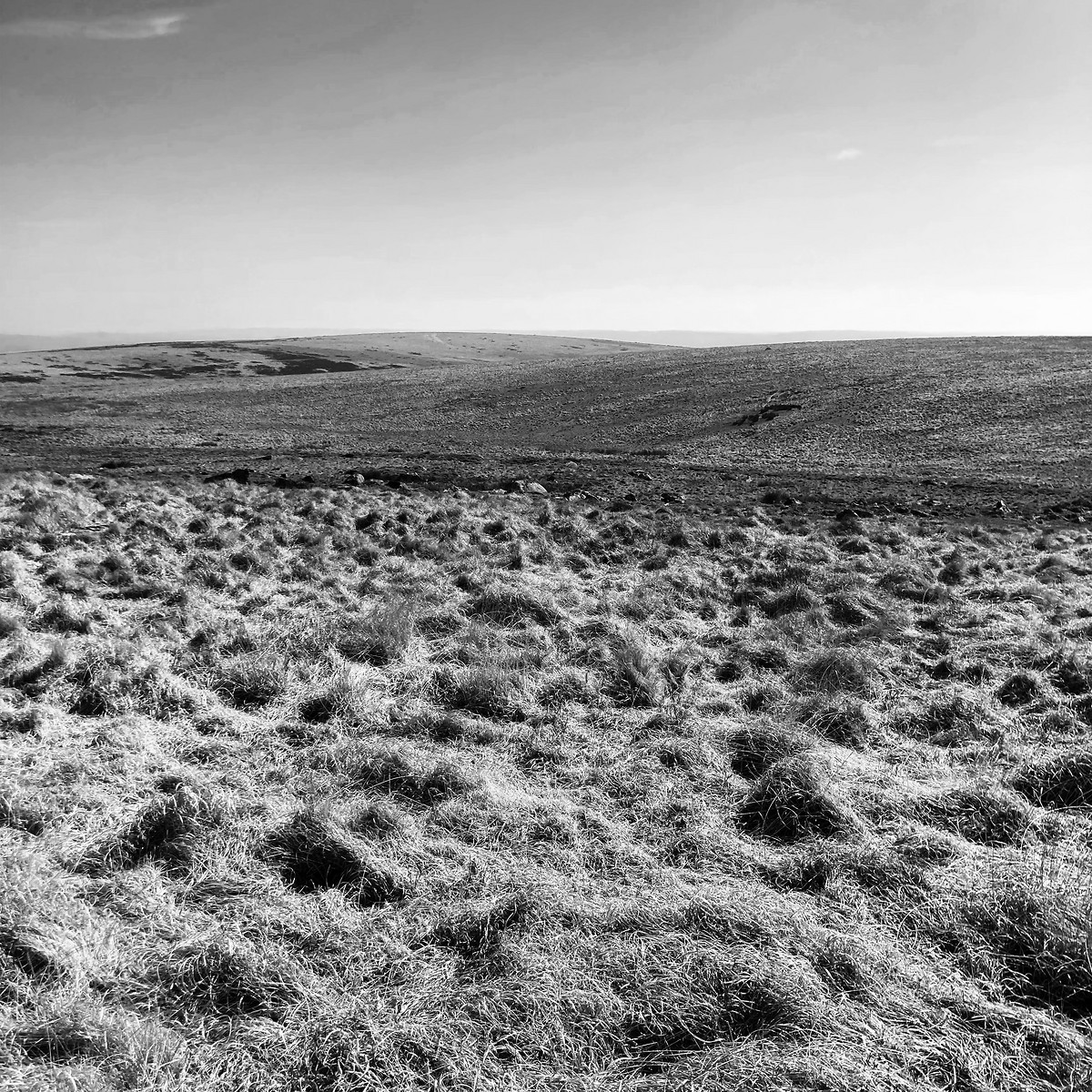
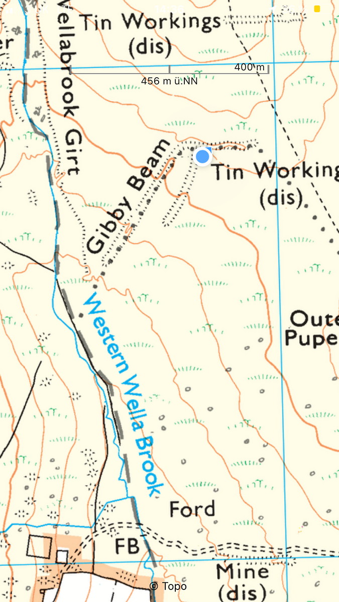
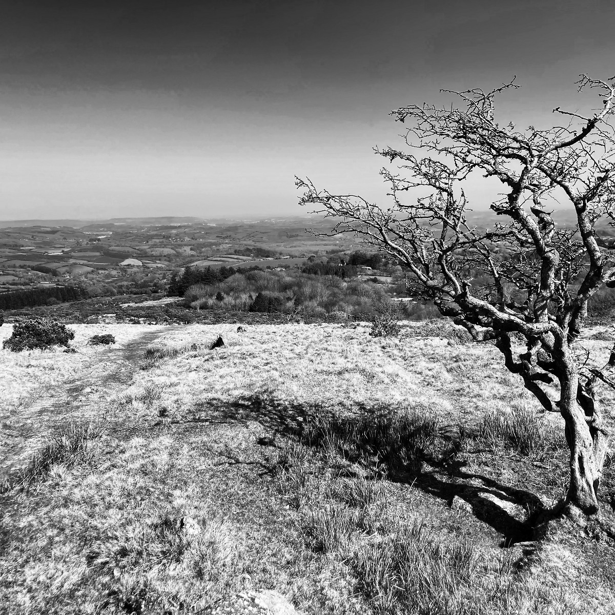
2025-04-16 Cornwood - The Dancers - Ugborough
Dartmoor
Hill
Flagged
Walking, Solo, 8+ hours
27.6 km, 670 m↑, 720 m↓
Partially cloudy / Moderate wind (DLOG)
| Location and role: | England, Dartmoor. Training for HML assessment, roughly on the “Dartmoor Way” long-distance trail. Solo walker. |
|---|---|
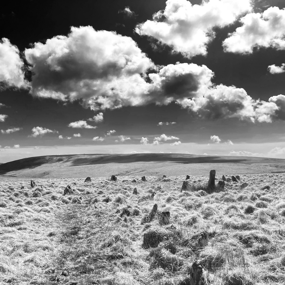
| Activity and conditions: | Used public paths for access, then explored open moorland. Fine weather, but quite windy. |
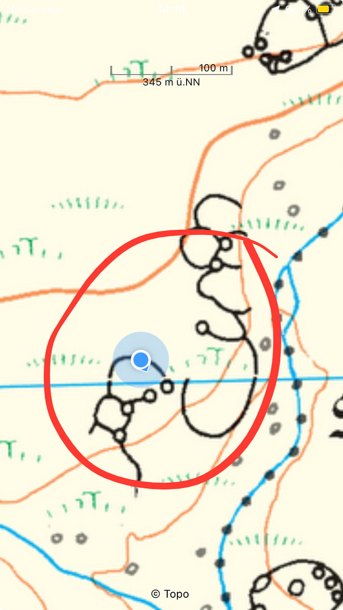
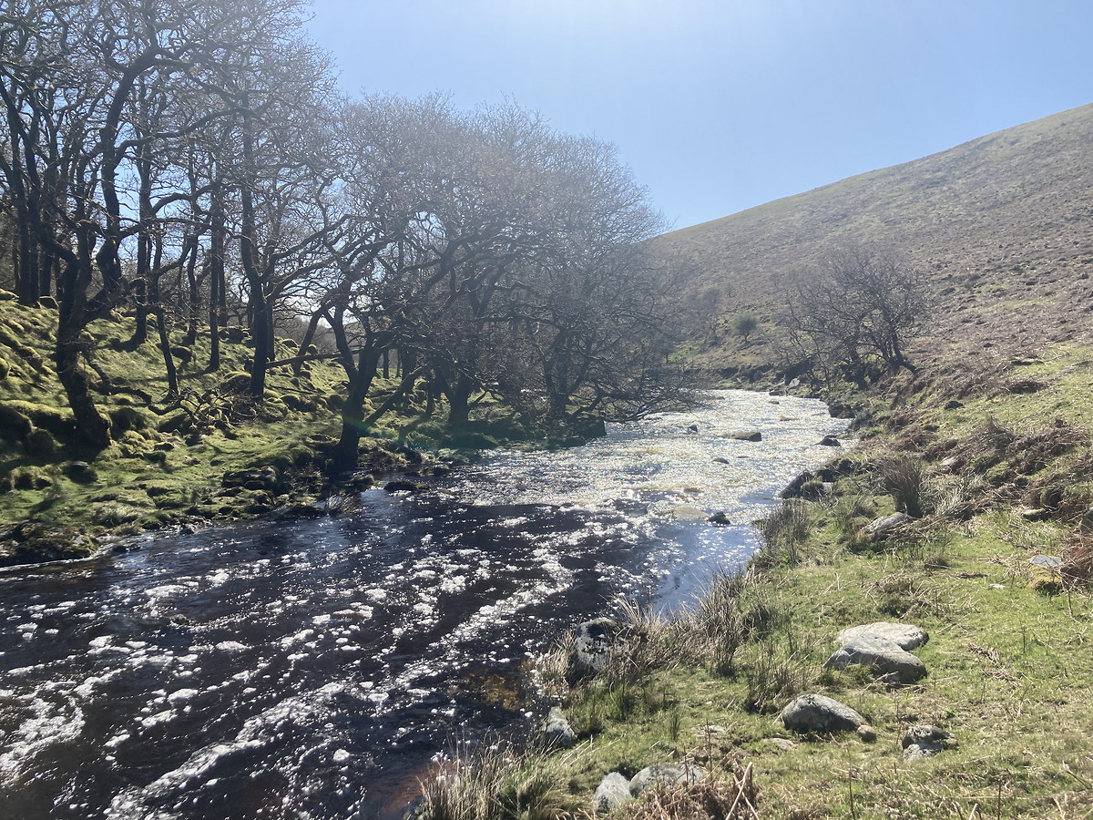
| Decisions and experience: | Decided not to walk on day before: yellow rain warning, weather predictions seemed unstable (good decision, 7 mm rain per hour is a lot). Located to contours, but abandoned last target as ground became too dangerous. Tried “rough” navigation (just as much as needed) in combination with multiple unchecked legs. Tried walking around swollen Erne river, but decided to return after some kilometres instead of pushing on towards uncertain ford. Used mixture of OS and BMC maps on return to ease strain by walking on as many paths as possible. |

2025-04-12 Postbridge - Princetown
Dartmoor
Hill
Flagged
Walking, Solo, 5-8 hours
21.4 km, 430 m↑, 310 m↓
Overcast / Moderate wind (DLOG)
| Location and role: | England, Dartmoor. Training for HML assessment, roughly on the “Dartmoor Way” long-distance trail. Solo walker. |
|---|---|
| Activity and conditions: | Used public paths for access, then explored open moorland. Overcast - best weather for walking. |
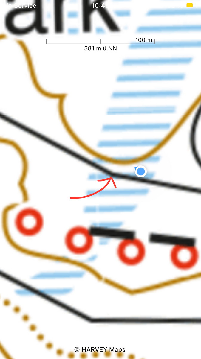
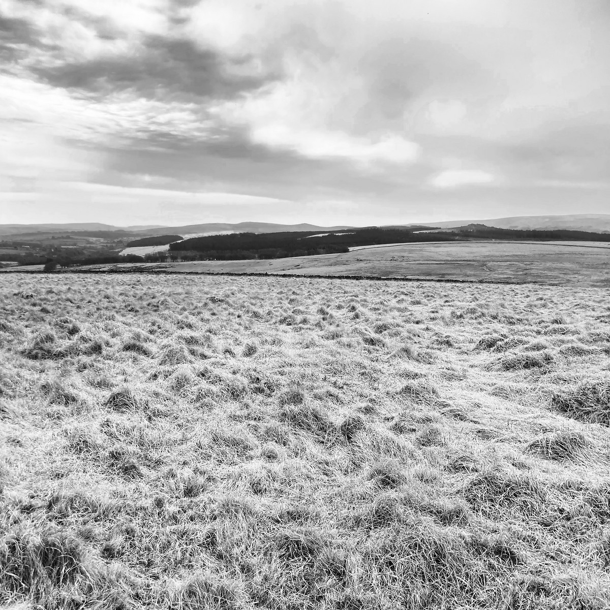
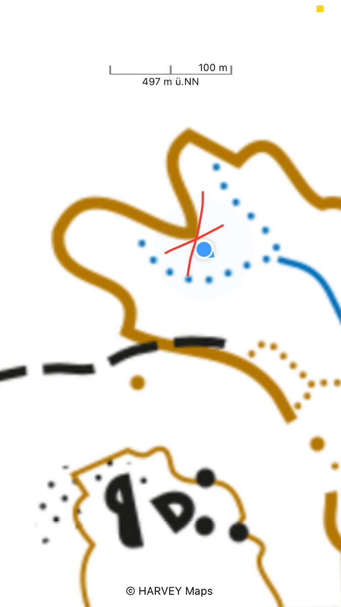
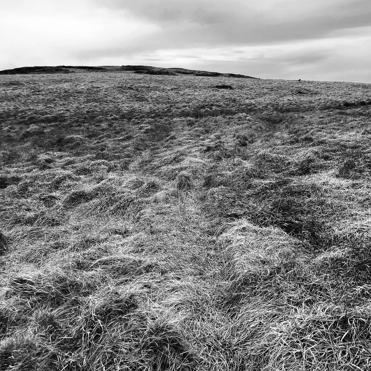
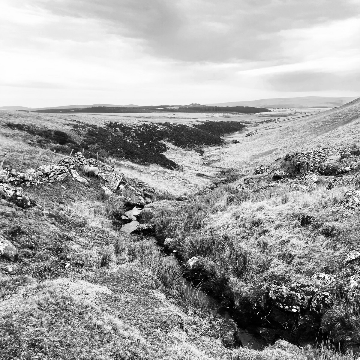
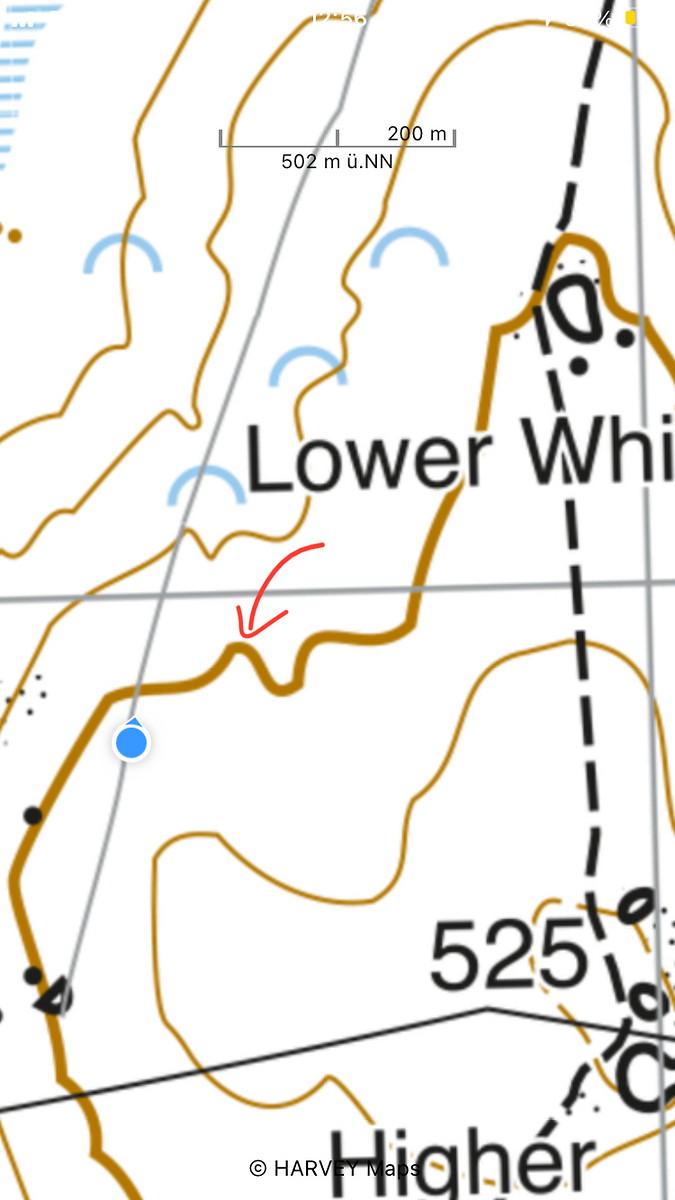
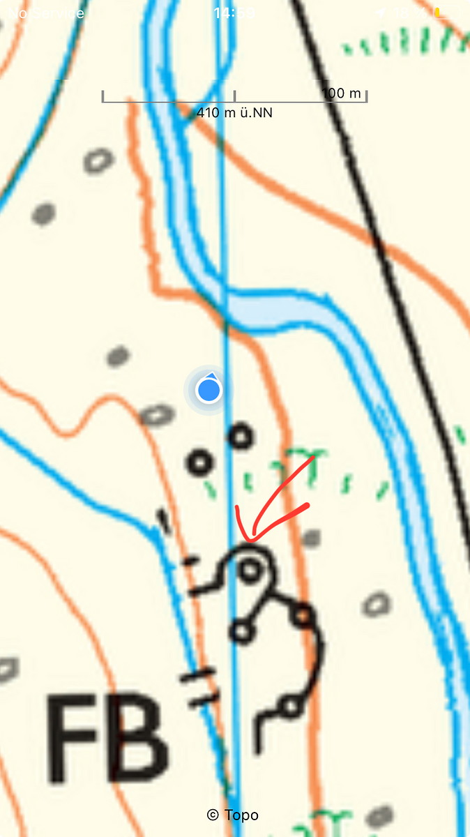
| Decisions and experience: | Exclusively used Harvey BMC map (a first). Trained relocation, and also located to contour lines. Walked on wet ground which I deemed to be dangerous, so I carefully stayed on small animal trails. One feature which looked like a re-entrant did not exist on the ground. Checked on OS Explorer map, which showed no re-entrant. Denser contour lines are definitely helpful. |

2025-04-10 Widecombe - Postbridge
Dartmoor
Hill
Flagged
Walking, Solo, 5-8 hours
22.8 km, 660 m↑, 540 m↓
Clear - sunny - good visibility / Moderate wind (DLOG)
| Location and role: | England, Dartmoor. Training for HML assessment, roughly on the “Dartmoor Way” long-distance trail. Solo walker. |
|---|---|
| Activity and conditions: | Used public paths for access, then explored open moorland. Fine weather, but quite windy. |
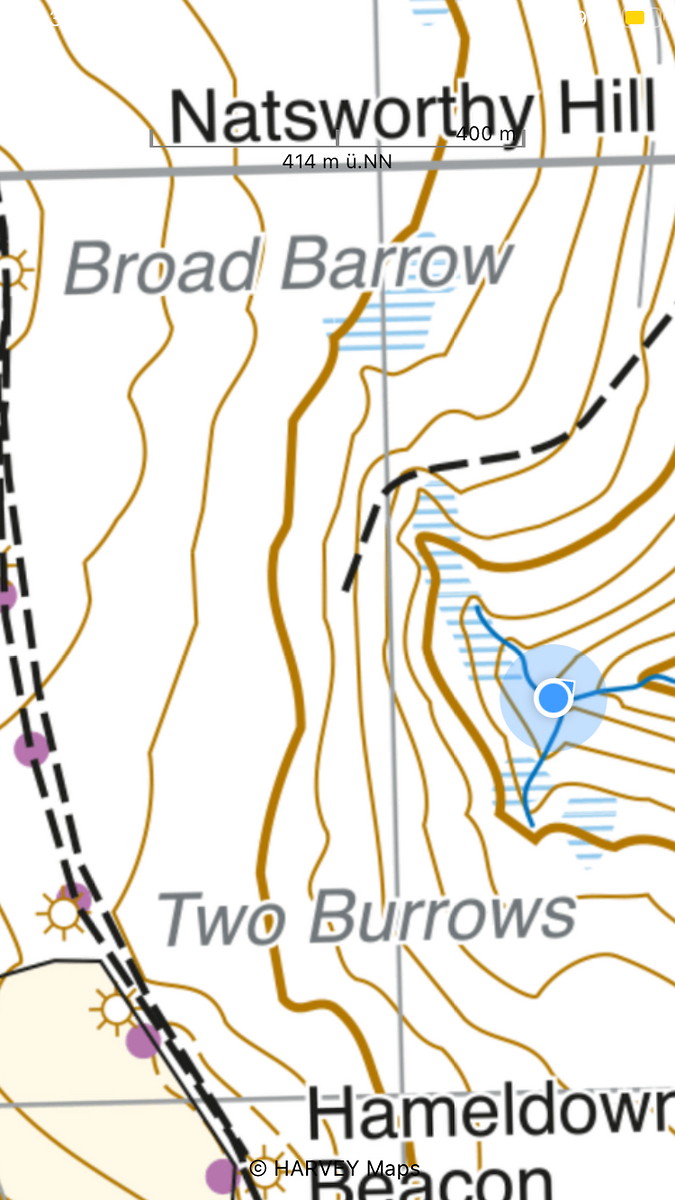
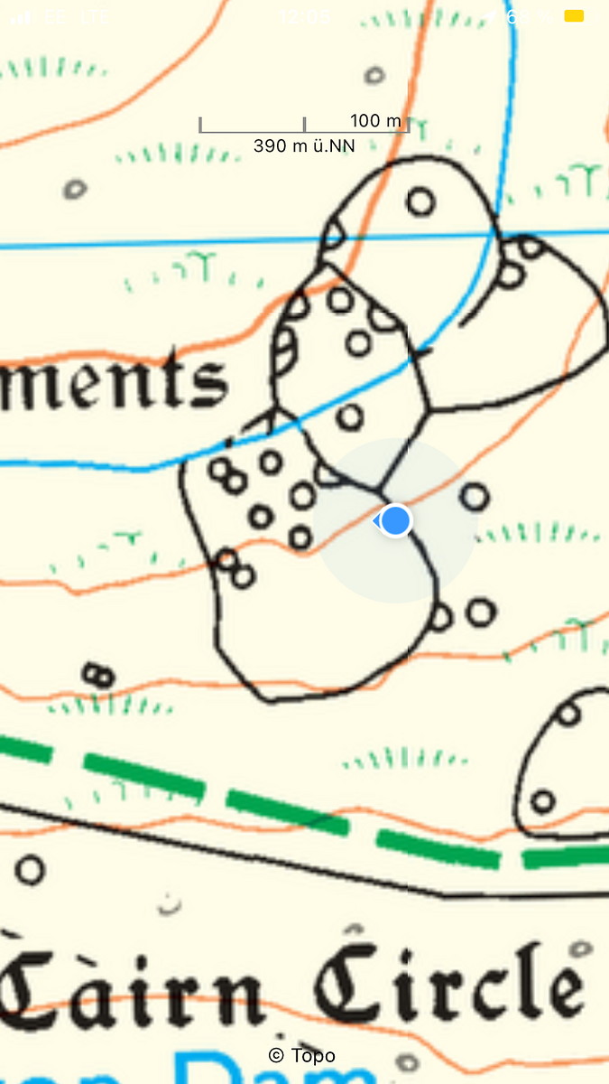
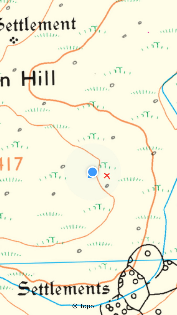
| Decisions and experience: | Located to more complex features on the map, including a small re-entrant. Used boxing (with pacing) to move around herd of wild ponies. |


2025-04-09 Buckfastleigh - Scorriton
Dartmoor
Hill
Flagged
Walking, Solo, 5-8 hours
19.7 km, 600 m↑, 490 m↓
Clear - sunny - good visibility / Moderate wind (DLOG)
| Location and role: | England, Dartmoor. Training for HML assessment, roughly on the “Dartmoor Way” long-distance trail. Solo walker. |
|---|---|
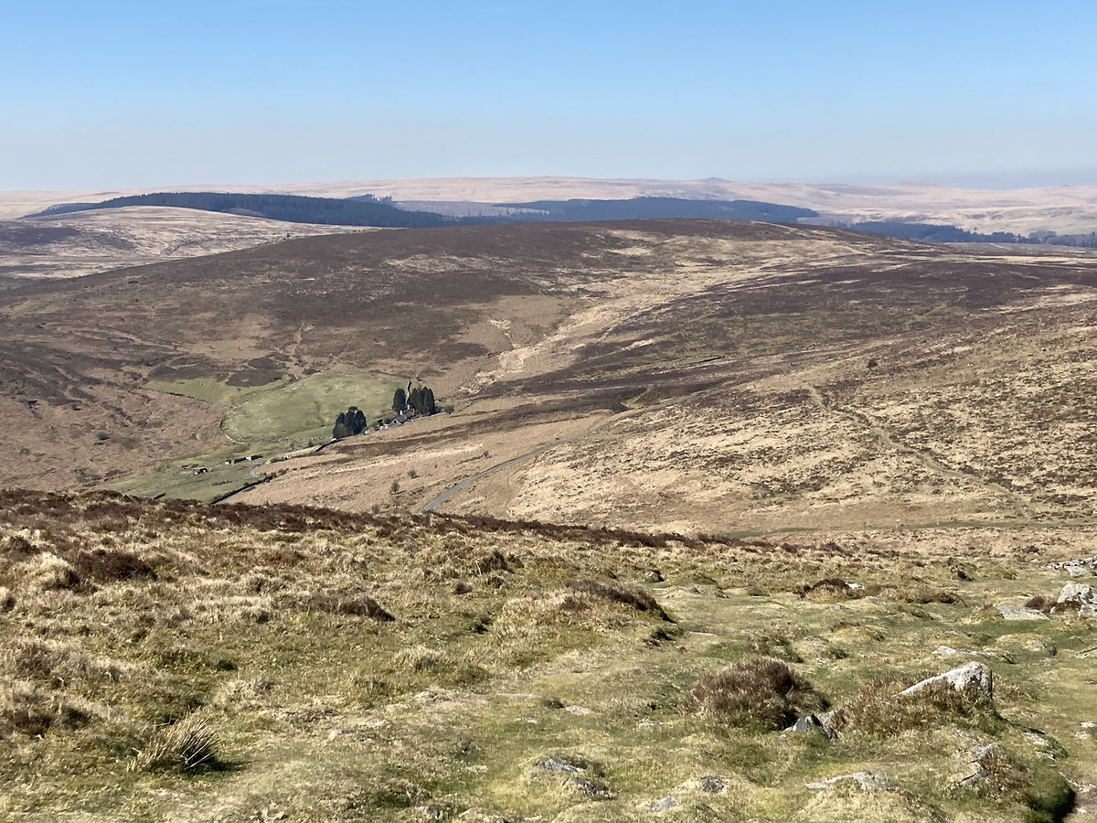
| Activity and conditions: | Used public paths for access, then explored open moorland. Fine weather, but quite windy. |
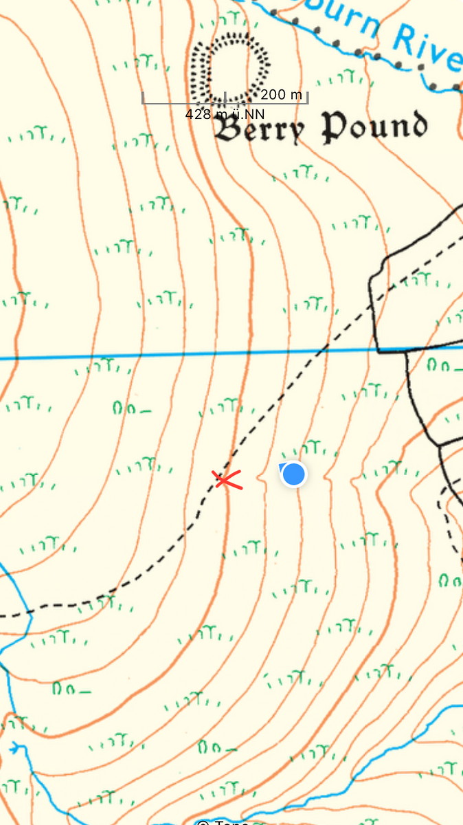
| Decisions and experience: | Located to contour lines and more complex features on the map. Studied accuracy of timing vs pacing. |


2025-03-29 Moorland (Fan Fawr)
Brecon Beacons
Hill
Flagged
Walking, Solo, 5-8 hours
16.2 km, 270 m↑, 250 m↓
Partially cloudy / Moderate wind (DLOG)
| Location and role: | Wales, Brecon Beacons. Moorland around Fan Fawr. Solo walker. |
|---|---|
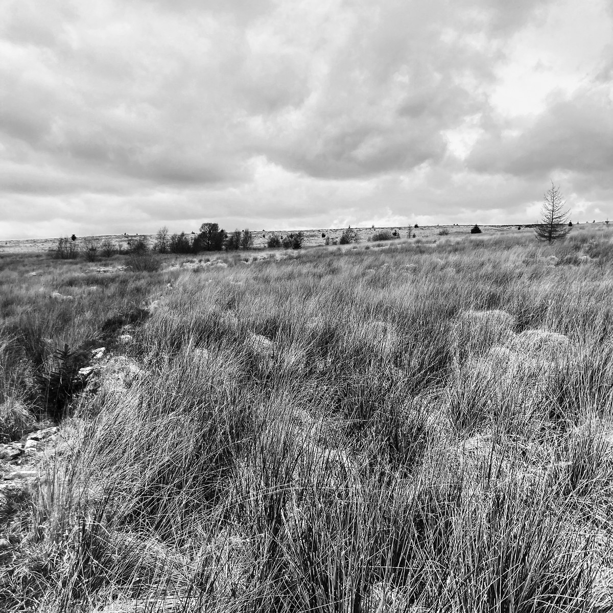
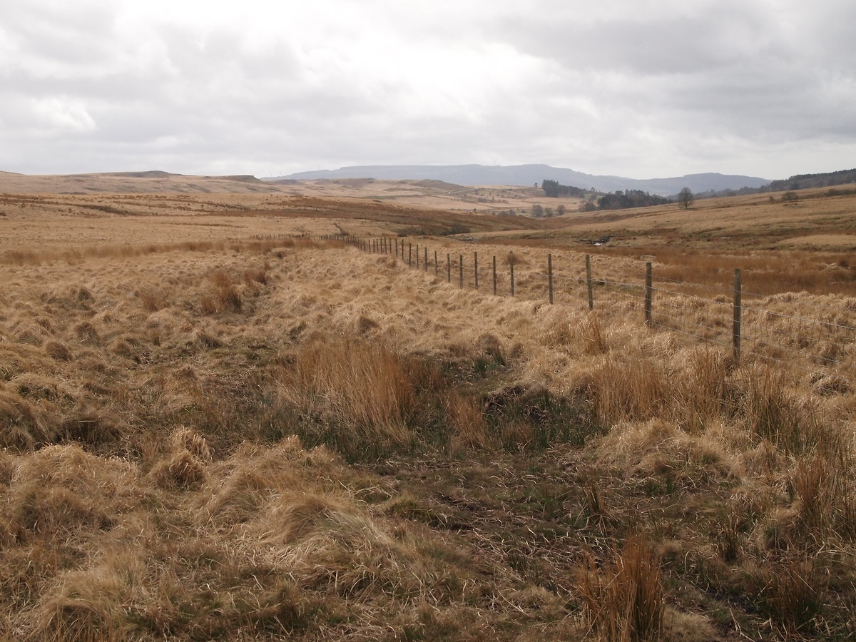
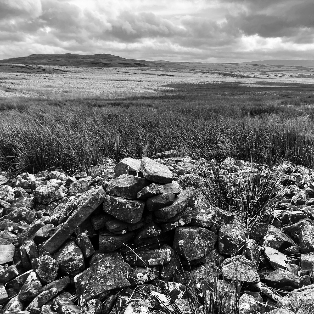
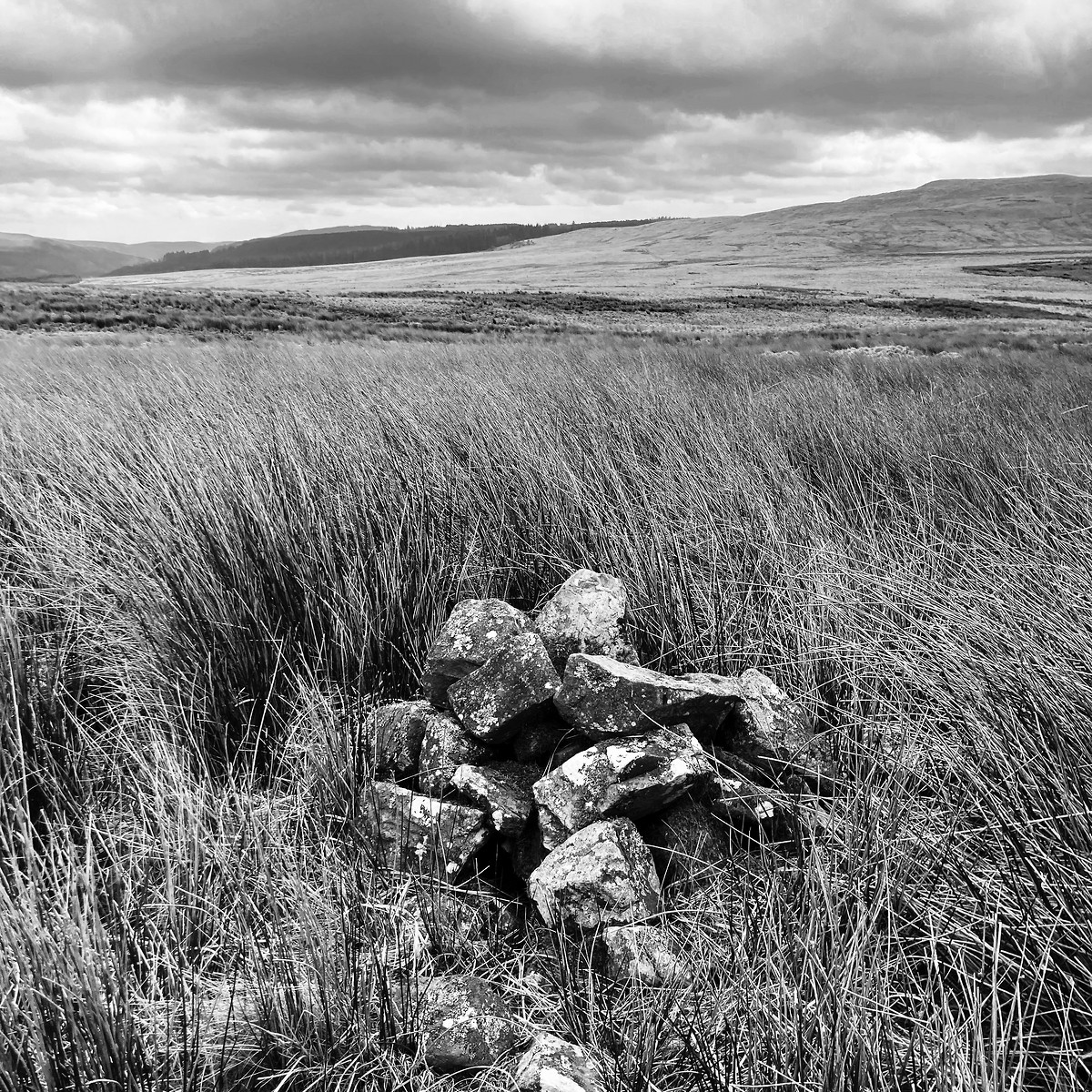
| Activity and conditions: | Planned to get to moorland via a bridle way. There was not even a path, so the adventure began much earlier. Had to change my plans again as I could not pass some marshes (and one cairn I was searching lay hidden in them). The bridle way on my return leg also did not exist. |
| Decisions and experience: | Learned to take the small blue icon on OS maps for marshes more seriously. Found bunkhouses and a road which did not appear on the map. Evaluated accuracy of timing and pacing. Flatter hill tops did not work as intermediate bearings. In contrast, small bushes and tufts of grass worked astonishingly well for bearings. Learned to recognise (and walk around) skylarks. |

2024-11-02 Ilsenburg - Brocken - Schierke
Harz
Hill
Flagged
Walking, Solo, 8+ hours
25.7 km, 1,130 m↑, 750 m↓
Overcast / Moderate wind (DLOG)
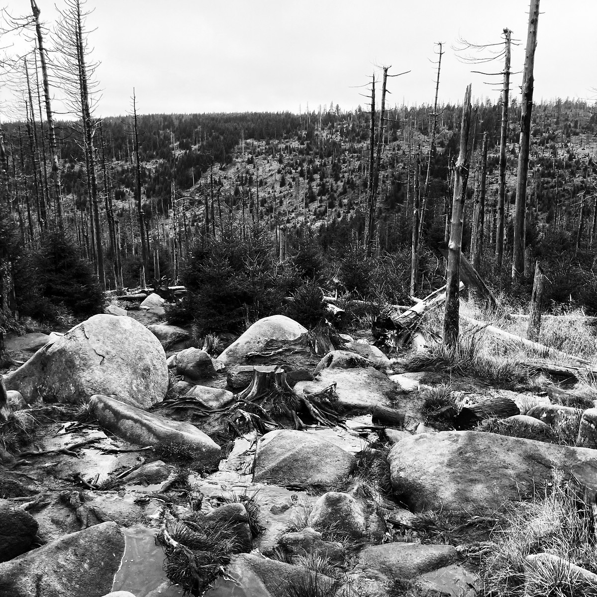
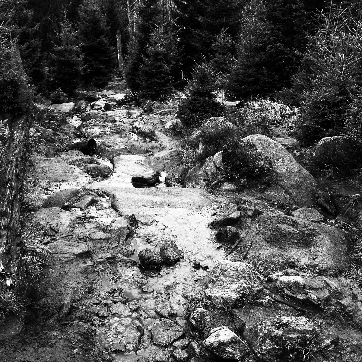
| Location and role: | Germany, Harz National Park. First day of a two-day circular hill tour, planned as homework for my Hiking Guide assessment. Solo walker. |
|---|---|
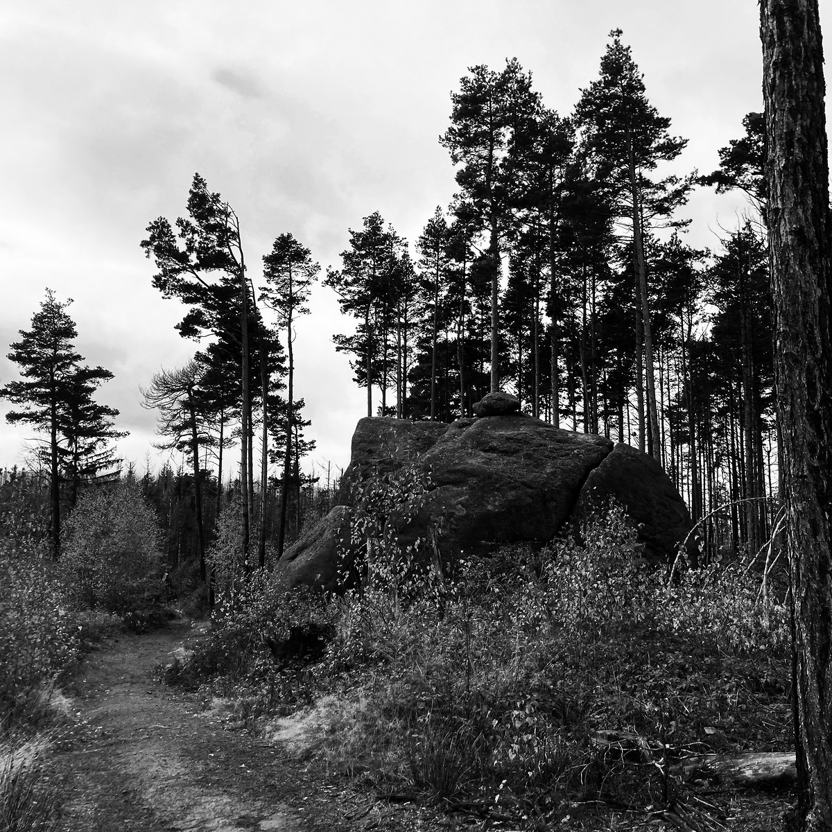
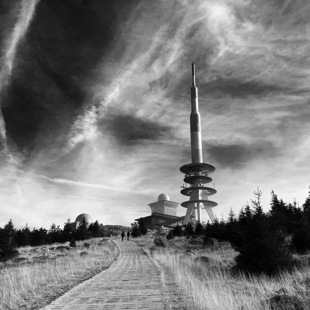
| Activity and conditions: | Gravelled roads, forest paths and mountain trails. Terrain is very similar to Scotland. Despite late autumn, the weather was gorgeous. Frost during the night. |
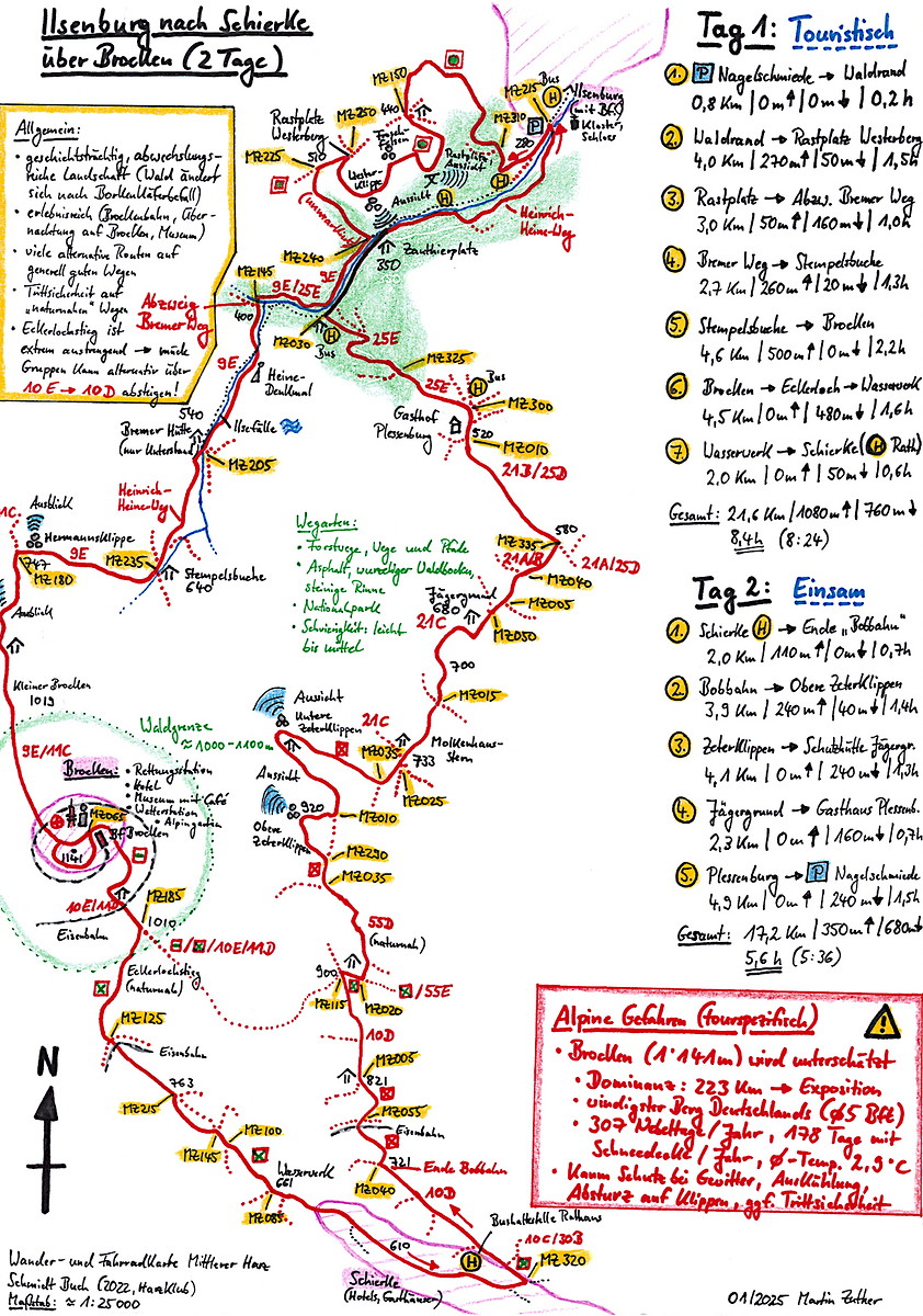
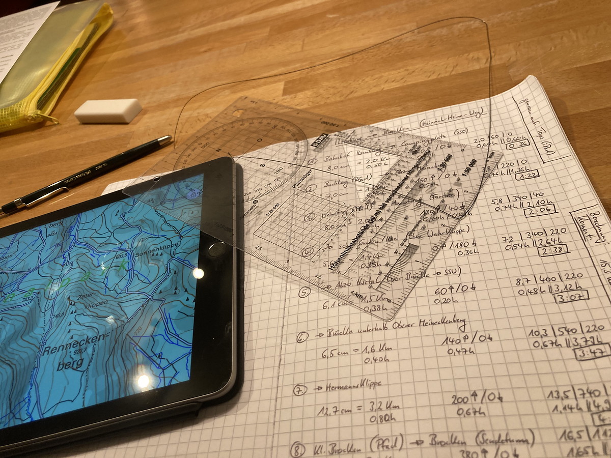
| Decisions and experience: | First professionally planned tour, including full risk assessment and emergency routes. See screenshot of the tour plan which earned me a commendation during assessment. During the walk, I checked the plan against a virtual group I was leading. First use of map by “Harzklub”. Experienced wind chill for real on a cold day and the windiest mountain in Germany. |

2023-04-29 Grasmere - Dungeon Ghyll
Lake District
Hill
Flagged
Walking, Leader / Supervisor, 3-5 hours
9.3 km, 480 m↑, 420 m↓
Overcast / Moderate wind (DLOG)
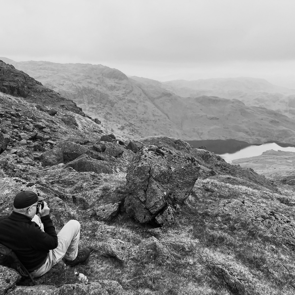
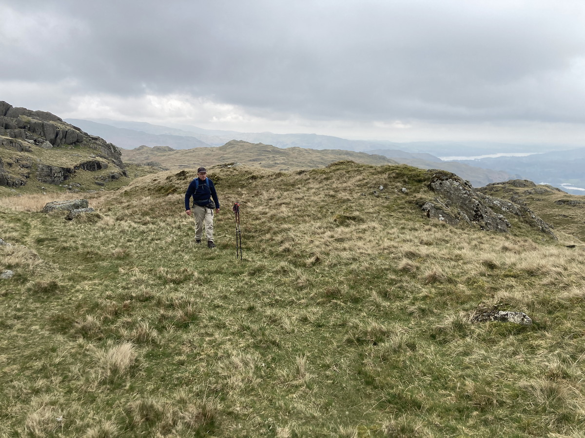
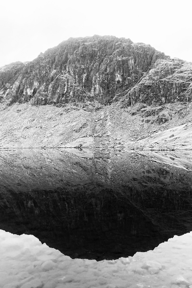
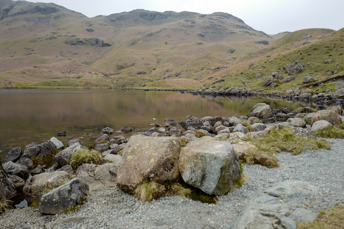
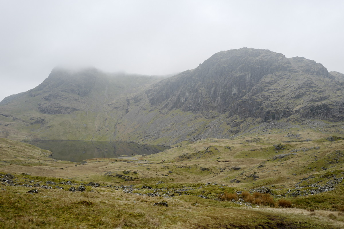
| Location and role: | England, Lake District. Connected sections of long-distance trails. Lead my father, aged 77. |
|---|---|
| Activity and conditions: | Paths and pathless ground on hills. Followed map and description of Wainwright. Best weather for walking. |
| Decisions and experience: | Asked my father to choose our route according to his knees. He selected one of Wainwright’s paths on Blea Rigg. I mistook animal tracks for paths and had to relocate. Also found out that the compass in my iPhone is mostly useless. This was one of the greatest hill days I ever had! |

2018-05-13 Adrigole - Castletownbere
Beara Way
Hill
Flagged
Walking, Leader / Supervisor, 5-8 hours
12.7 km, 500 m↑, 530 m↓
Overcast / Moderate wind (DLOG)
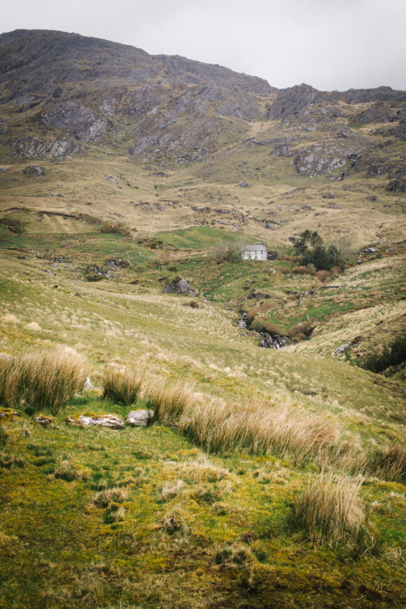
| Location and role: | Ireland, Southern Ireland. Long-distance trail “Beara Way”. Lead my father, aged 74. |
|---|---|
| Activity and conditions: | Paths and open moorland. Beautiful weather, but windy. |
| Decisions and experience: | Signposts on the moorland were few and widely separated. Re-adjusted speed and tour length to my father, using experience from the day before. From this day on, the tours suited my father well. |
2015-04-27 Glen Coe - Lairig Eilde - Kingshouse
West Highland Way
Hill
Flagged
Winter Mountain Walking, Leader / Supervisor, 5-8 hours
18.2 km, 430 m↑, 470 m↓
Heavy rain - poor visibility / Moderate wind (DLOG)
| Location and role: | Scotland, Scottish Highlands. Detour from “West Highland Way" to Glen Coe valley. Lead a friend of mine. |
|---|---|
| Activity and conditions: | Technically, this was a winter mountain walk over a pass. It started snowing heavily while we were up in the mountains. |
| Decisions and experience: | First time out in the Scottish mountains, and also leading in mountainous terrain. Navigation was tough due to the weather conditions. My friend wanted to continue the circular route via another mountain pass, just as I had planned. However, I decided that the path was not safe any more due to newly fallen snow. After some discussion, I managed to convince her of returning via a detour on asphalt. |
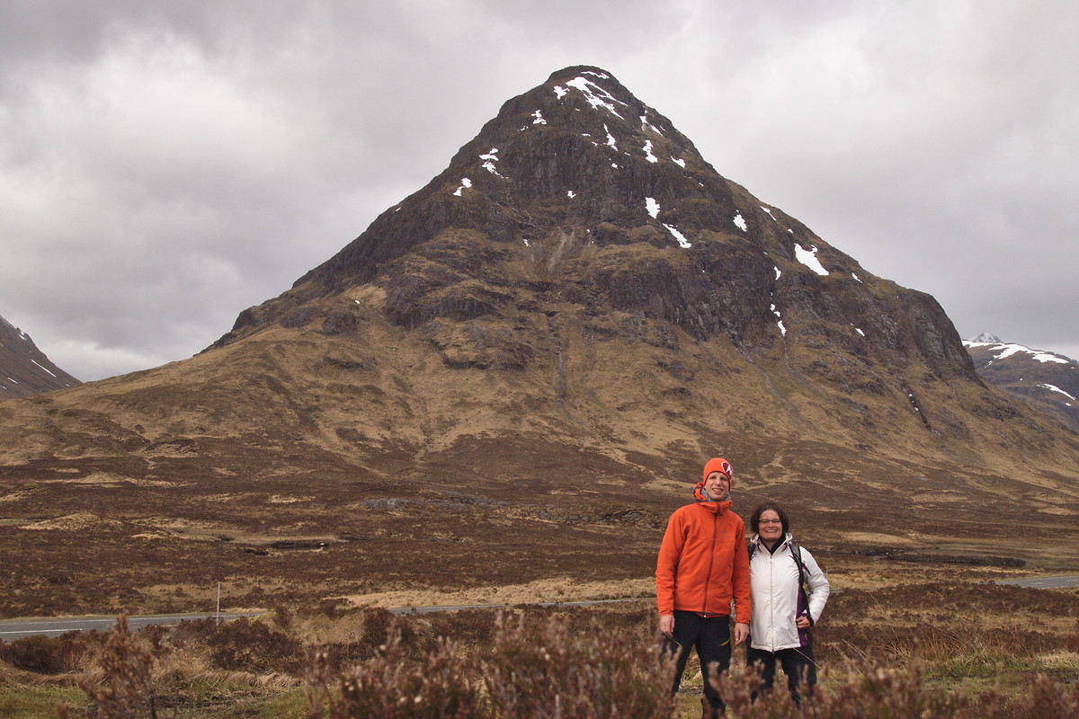
2014-05-24 Caherciveen - Waterville
Kerry Way
Hill
Flagged
Walking, Solo, 8+ hours
30.0 km, 750 m↑, 760 m↓
Heavy rain - poor visibility / Moderate wind (DLOG)
| Location and role: | Ireland, Southern Ireland. Long-distance trail “Kerry Way”. Solo walker. |
|---|---|
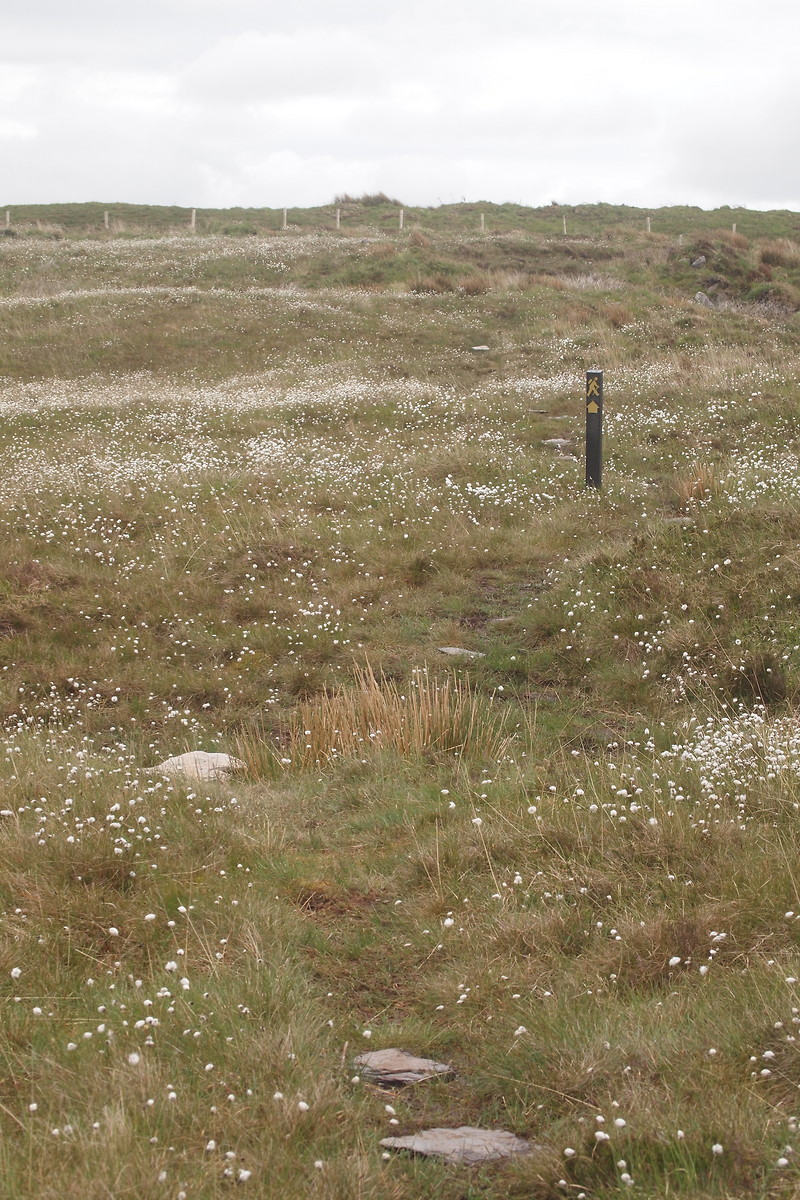
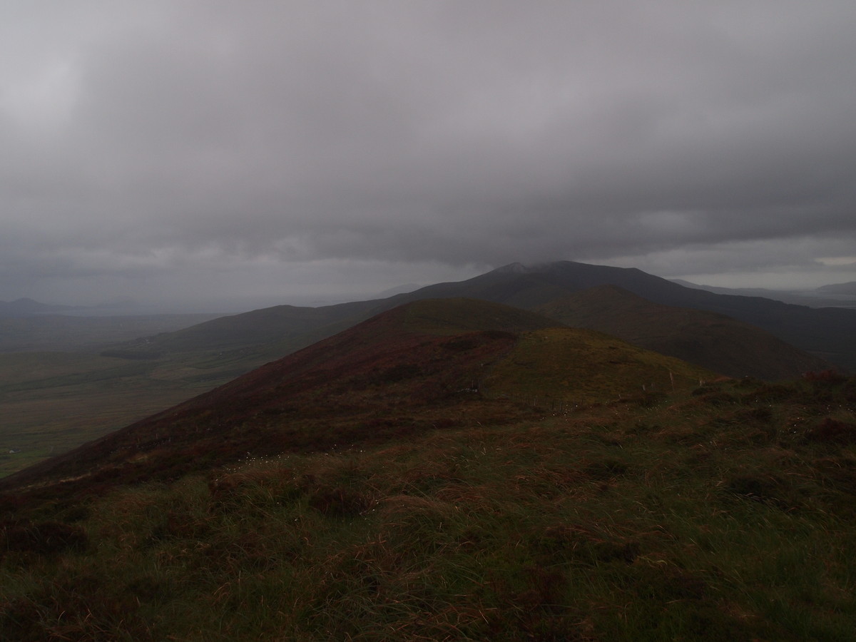
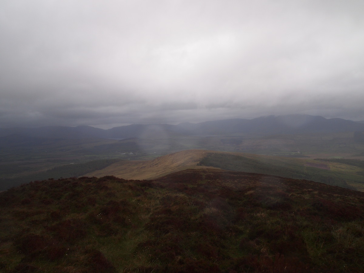
| Activity and conditions: | Pathless over hill ridges. First glimpse of moorland. Quite remote without any mobile phone reception. Signposts on moorland were widely separated. Rainy and foggy. |
| Decisions and experience: | Most walkers I met on the trail had taken a rest day. Thus, in case something had happened, I would have had to deal with it on my own. Only met a single person during the day. |